Gorom-Gorom geodata
Gorom-Gorom (Sahel) is a seat of a second-order administrative division; located in Burkina Faso in Africa/Ouagadougou (GMT+0) time zone. With population of 6,691 people, there are 40 cities with bigger population in this country. Compared to other cities in Burkina Faso, 96.2% of cities are located further ↓South; 84.8% of cities are located further ←West and 84.8% of cities have higher elevation than Gorom-Gorom. Note1


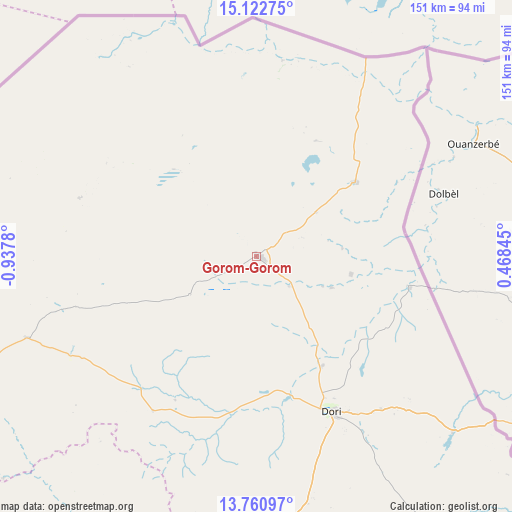
Gorom-Gorom GPS coordinates[2]
14° 26' 34.44" North, 0° 14' 4.848" West
| Map corner | latitude | longitude |
|---|---|---|
| Upper-left | 15.12275°, | -0.9378° |
| Center: | 14.4429°, | -0.23468° |
| Lower-right: | 13.76097°, | 0.46845° |
| Map W x H: | 151.4×151.4 km | = 94.1×94.1mi |
| max Lat: | 14.96549° ⇑3.8% North |
| Gorom-Gorom: | 14.4429° |
| min Lat: | ⇓96.2% South 9.88333° |
| min Long | Gorom-Gorom | max Long |
| -5.16667° | -0.23468° | 1.78838° |
| W 84.8%⇐ | ⇒15.2% E |
Elevation
Elevation of Gorom-Gorom is 274 m = 899 ft, and this is 29 m = 95 ft below average elevation for this country.
| Max E: |
423 m = 1388 ft | 84.8% |
| Avg. | 303 m = 994 ft | |
| Gorom-Gorom | 274 m = 899 ft | |
Min E: |
222 m = 728 ft | 15.2% |
See also: Burkina Faso elevation on elevation.city.
Geographical zone
Gorom-Gorom is located in North Torrid zone (between Equator and Tropic of Cancer). Distance of this Northern Tropic circle is 1000 km =621.4 mi to North.| Distance of | km | miles | from Gorom-Gorom |
|---|---|---|---|
| North Pole | 8401.2 | 5220.3 | to North |
| Arctic Circle | 5795.3 | 3601 | to North |
| Tropic Cancer | 1000 | 621.4 | to North |
| Equator | 1605.9 | 997.9 | to South |


Nearby cities:
15 places around Gorom-Gorom: (largest is in red/bold)
• Bogandé
164 km =101.9 mi,  176°
176°
• Boulsa
200.9 km =124.8 mi,  190°
190°
• Boundoré
166.1 km =103.2 mi,  132°
132°
• Boussouma
193.4 km =120.2 mi,  208°
208°
• Djibo
154.7 km =96.1 mi,  255°
255°
• Dori
50.2 km =31.2 mi,  154°
154°
• Déou
55 km =34.2 mi,  288°
288°
• Kaya
176.1 km =109.4 mi, 211°
• Kongoussi
187.4 km =116.4 mi,  228°
228°
• Korsimoro
201.1 km =125 mi, 206°
• Mani
131.7 km =81.8 mi, 178°
• Mané
201.3 km =125.1 mi,  216°
216°
• Oursi
35.5 km =22.1 mi,  316°
316°
• Sebba
139.1 km =86.4 mi,  143°
143°
• Tin-Akoff
58.6 km =36.4 mi,  7°
7°
Sources, notices
• [Note1] Compared only with cities in Burkina Faso existing in our database
• [Src1] Map data: © OpenStreetMap contributors (CC-BY-SA)
• [Src2] Other city data from geonames.org with taken over terms of usage.
• [Src3] Geographical zone / Annual Mean Temperature by Robert A. Rohde @ Wikipedia
