Boundoré geodata
Boundoré (Sahel) is a seat of a third-order administrative division; located in Burkina Faso in Africa/Ouagadougou (GMT+0) time zone. In our database, there are 49 cities with bigger population. Compared to other cities in Burkina Faso, 89.9% of cities are located further ↓South; 98.7% of cities are located further ←West and 98.7% of cities have higher elevation than Boundoré. Note1


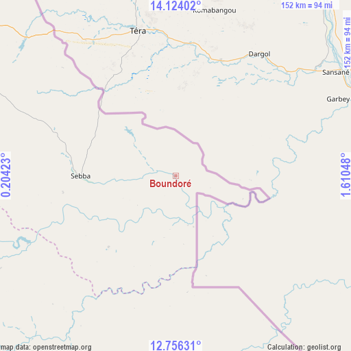
Boundoré GPS coordinates[2]
13° 26' 28.104" North, 0° 54' 26.46" East
| Map corner | latitude | longitude |
|---|---|---|
| Upper-left | 14.12402°, | 0.20423° |
| Center: | 13.44114°, | 0.90735° |
| Lower-right: | 12.75631°, | 1.61048° |
| Map W x H: | 152.1×152.1 km | = 94.5×94.5mi |
| max Lat: | 14.96549° ⇑10.1% North |
| Boundoré: | 13.44114° |
| min Lat: | ⇓89.9% South 9.88333° |
| min Long | Boundoré | max Long |
| -5.16667° | 0.90735° | 1.78838° |
| W 98.7%⇐ | ⇒1.3% E |
Elevation
Elevation of Boundoré is 233 m = 764 ft, and this is 70 m = 230 ft below average elevation for this country.
| Max E: |
423 m = 1388 ft | 98.7% |
| Avg. | 303 m = 994 ft | |
| Boundoré | 233 m = 764 ft | |
Min E: |
222 m = 728 ft | 1.3% |
See also: Burkina Faso elevation on elevation.city.
Geographical zone
Boundoré is located in North Torrid zone (between Equator and Tropic of Cancer). Distance of this Northern Tropic circle is 1111.4 km =690.6 mi to North.| Distance of | km | miles | from Boundoré |
|---|---|---|---|
| North Pole | 8512.5 | 5289.4 | to North |
| Arctic Circle | 5906.7 | 3670.3 | to North |
| Tropic Cancer | 1111.4 | 690.6 | to North |
| Equator | 1494.5 | 928.6 | to South |


Nearby cities:
15 places around Boundoré: (largest is in red/bold)
• Bilanga
141.7 km =88 mi,  225°
225°
• Bogandé
125.8 km =78.2 mi,  245°
245°
• Boulsa
182.2 km =113.2 mi,  241°
241°
• Diapaga
179.6 km =111.6 mi,  147°
147°
• Dori
121.3 km =75.4 mi,  303°
303°
• Déou
217.7 km =135.3 mi,  306°
306°
• Fada N'gourma
164.5 km =102.2 mi,  201°
201°
• Gayéri
98.9 km =61.5 mi,  206°
206°
• Gorom-Gorom
166.1 km =103.2 mi, 312°
• Koupéla
195.8 km =121.7 mi,  224°
224°
• Mani
122.9 km =76.4 mi,  260°
260°
• Oursi
201.5 km =125.2 mi, 312°
• Sebba
40.8 km =25.4 mi,  269°
269°
• Tin-Akoff
205.1 km =127.4 mi,  325°
325°
• Zorgo
211.7 km =131.5 mi, 231°
Sources, notices
• [Note1] Compared only with cities in Burkina Faso existing in our database
• [Src1] Map data: © OpenStreetMap contributors (CC-BY-SA)
• [Src2] Other city data from geonames.org with taken over terms of usage.
• [Src3] Geographical zone / Annual Mean Temperature by Robert A. Rohde @ Wikipedia
