Pajo geodata
Pajo (Punakha) is a populated place; located in Bhutan in Asia/Thimphu (GMT+6) time zone. With population of 3,032 people, there are 10 cities with bigger population in this country. Compared to other cities in Bhutan, 81.5% of cities are located further ↓South; 59.3% of cities are located further →East and 55.6% of cities have lower elevation than Pajo. Note1


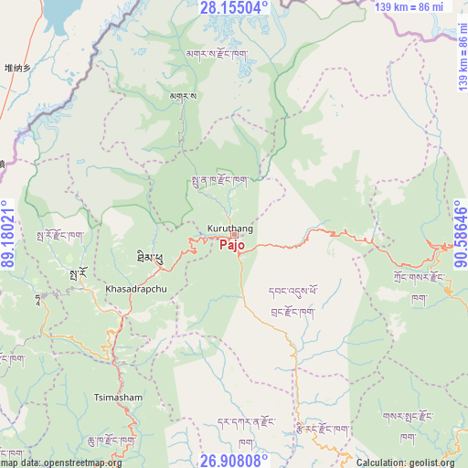
Pajo GPS coordinates[2]
27° 31' 59.988" North, 89° 52' 59.988" East
| Map corner | latitude | longitude |
|---|---|---|
| Upper-left | 28.15504°, | 89.18021° |
| Center: | 27.53333°, | 89.88333° |
| Lower-right: | 26.90808°, | 90.58646° |
| Map W x H: | 138.6×138.7 km | = 86.1×86.2mi |
| max Lat: | 27.90372° ⇑18.5% North |
| Pajo: | 27.53333° |
| min Lat: | ⇓81.5% South 26.78333° |
| min Long | Pajo | max Long |
| 89.09951° | 89.88333° | 92.1° |
| W 40.7%⇐ | ⇒59.3% E |
Elevation
Elevation of Pajo is 1438 m = 4718 ft, and this is 59.8 m = 196 ft above average elevation for this country.
| Max E: |
2761 m = 9058 ft | 44.4% |
| Pajo | 1438 m 4718 ft | |
| Avg. | 1378.2 m = 4522 ft | |
Min E: |
145 m = 476 ft | 55.6% |
See also: Bhutan elevation on elevation.city.
Geographical zone
Pajo is located in North temperate zone (between Tropic of Cancer and the Arctic Circle). Distance of this Northern Tropic circle is 455.5 km =283 mi to South.| Distance of | km | miles | from Pajo |
|---|---|---|---|
| North Pole | 6945.6 | 4315.8 | to North |
| Arctic Circle | 4339.8 | 2696.6 | to North |
| Tropic Cancer | 455.5 | 283 | to South |
| Equator | 3061.4 | 1902.3 | to South |


Nearby cities:
15 places around Pajo: (largest is in red/bold)
• Daga
50.9 km =31.6 mi,  180°
180°
• Daphu
80.1 km =49.8 mi,  218°
218°
• Gasa
44 km =27.3 mi,  339°
339°
• Ha
61.6 km =38.3 mi,  254°
254°
• Jakar
85.7 km =53.3 mi,  88°
88°
• Lungtenzampa
24.7 km =15.3 mi, 252°
• Paro
47.8 km =29.7 mi,  256°
256°
• Punākha
6.5 km =4 mi,  354°
354°
• Sarpang
83.6 km =51.9 mi,  152°
152°
• Shemgang
84.2 km =52.3 mi,  114°
114°
• Thimphu
25 km =15.5 mi, 252°
• Trongsa
61.6 km =38.3 mi, 93°
• Tsimasham
59.2 km =36.8 mi, 215°
• Tsirang
61.6 km =38.3 mi,  157°
157°
• Wangdue Phodrang
5.5 km =3.4 mi, 163°
Sources, notices
• [Note1] Compared only with cities in Bhutan existing in our database
• [Src1] Map data: © OpenStreetMap contributors (CC-BY-SA)
• [Src2] Other city data from geonames.org with taken over terms of usage.
• [Src3] Geographical zone / Annual Mean Temperature by Robert A. Rohde @ Wikipedia
