Bossangoa geodata
Bossangoa (Ouham) is a seat of a first-order administrative division; located in Central African Republic in Africa/Bangui (GMT+1) time zone. With population of 27,428 people, there are 11 cities with bigger population in this country. Compared to other cities in Central African Republic, 74.3% of cities are located further ↓South; 77.1% of cities are located further →East and 60% of cities have higher elevation than Bossangoa. Note1


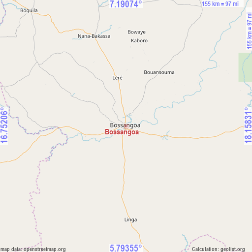
Bossangoa GPS coordinates[2]
6° 29' 33.468" North, 17° 27' 18.648" East
| Map corner | latitude | longitude |
|---|---|---|
| Upper-left | 7.19074°, | 16.75206° |
| Center: | 6.49263°, | 17.45518° |
| Lower-right: | 5.79355°, | 18.15831° |
| Map W x H: | 155.4×155.4 km | = 96.6×96.6mi |
| max Lat: | 10.28488° ⇑25.7% North |
| Bossangoa: | 6.49263° |
| min Lat: | ⇓74.3% South 3.52494° |
| min Long | Bossangoa | max Long |
| 15.13926° | 17.45518° | 26.49211° |
| W 22.9%⇐ | ⇒77.1% E |
Elevation
Elevation of Bossangoa is 456 m = 1496 ft, and this is 49.3 m = 162 ft below average elevation for this country.
| Max E: |
976 m = 3202 ft | 60% |
| Avg. | 505.3 m = 1658 ft | |
| Bossangoa | 456 m = 1496 ft | |
Min E: |
351 m = 1152 ft | 40% |
See also: Central African Republic elevation on elevation.city.
Geographical zone
Bossangoa is located in North Torrid zone (between Equator and Tropic of Cancer). Distance of Equator is 721.9 km =448.6 mi to South.| Distance of | km | miles | from Bossangoa |
|---|---|---|---|
| North Pole | 9285.1 | 5769.5 | to North |
| Arctic Circle | 6679.3 | 4150.3 | to North |
| Tropic Cancer | 1884 | 1170.7 | to North |
| Equator | 721.9 | 448.6 | to South |


Nearby cities:
15 places around Bossangoa: (largest is in red/bold)
• Bangui
266.4 km =165.5 mi,  152°
152°
• Baoro
188.5 km =117.1 mi,  240°
240°
• Batangafo
128.2 km =79.7 mi,  45°
45°
• Bimbo
270.4 km =168 mi,  156°
156°
• Boali
202.3 km =125.7 mi, 158°
• Boda
241.7 km =150.2 mi,  179°
179°
• Bouar
214.7 km =133.4 mi,  253°
253°
• Bouca
90.8 km =56.4 mi,  88°
88°
• Bozoum
120.4 km =74.8 mi,  260°
260°
• Carnot
245.3 km =152.4 mi,  225°
225°
• Damara
219.3 km =136.3 mi,  140°
140°
• Kabo
186.5 km =115.9 mi,  43°
43°
• Kaga Bandoro
199.1 km =123.7 mi,  73°
73°
• Paoua
139.6 km =86.7 mi,  306°
306°
• Sibut
198.6 km =123.4 mi,  115°
115°
Sources, notices
• [Note1] Compared only with cities in Central African Republic existing in our database
• [Src1] Map data: © OpenStreetMap contributors (CC-BY-SA)
• [Src2] Other city data from geonames.org with taken over terms of usage.
• [Src3] Geographical zone / Annual Mean Temperature by Robert A. Rohde @ Wikipedia
