Shizuishan geodata
Shizuishan (Ningxia Hui Autonomous Region) is a populated place; located in China in Asia/Shanghai (GMT+8) time zone. With population of 136,570 people, there are 323 cities with bigger population in this country. Compared to other cities in China, 83.8% of cities are located further ↓South; 84.4% of cities are located further →East and 86.8% of cities have lower elevation than Shizuishan. Note1


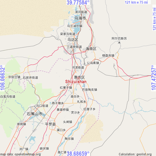
Shizuishan GPS coordinates[2]
39° 13' 59.988" North, 106° 46' 9.984" East
| Map corner | latitude | longitude |
|---|---|---|
| Upper-left | 39.77584°, | 106.06632° |
| Center: | 39.23333°, | 106.76944° |
| Lower-right: | 38.68659°, | 107.47257° |
| Map W x H: | 121.1×121.1 km | = 75.2×75.2mi |
| max Lat: | 53.31946° ⇑16.2% North |
| Shizuishan: | 39.23333° |
| min Lat: | ⇓83.8% South 18.22056° |
| min Long | Shizuishan | max Long |
| 75.07348° | 106.76944° | 134.28917° |
| W 15.6%⇐ | ⇒84.4% E |
Elevation
Elevation of Shizuishan is 1103 m = 3619 ft, and this is 618.2 m = 2028 ft above average elevation for this country.
| Max E: |
5622 m = 18445 ft | 13.2% |
| Shizuishan | 1103 m 3619 ft | |
| Avg. | 484.8 m = 1591 ft | |
Min E: |
-3 m = -10 ft | 86.8% |
See also: Shizuishan elevation on elevation.city.
Geographical zone
Shizuishan is located in North temperate zone (between Tropic of Cancer and the Arctic Circle). Distance of this Northern Tropic circle is 1756.4 km =1091.4 mi to South.| Distance of | km | miles | from Shizuishan |
|---|---|---|---|
| North Pole | 5644.7 | 3507.5 | to North |
| Arctic Circle | 3038.8 | 1888.2 | to North |
| Tropic Cancer | 1756.4 | 1091.4 | to South |
| Equator | 4362.3 | 2710.6 | to South |


Nearby cities:
15 places around Shizuishan: (largest is in red/bold)
• Bayan Gol
120 km =74.6 mi,  8°
8°
• Bayan Hot
104.7 km =65.1 mi,  245°
245°
• Bayinsai
30 km =18.6 mi,  351°
351°
• Beijie
1.2 km =0.7 mi,  194°
194°
• Dawukou
38.6 km =24 mi,  236°
236°
• Lasengmiao
11.5 km =7.1 mi,  29°
29°
• Pingluo Chengguanzhen
41.6 km =25.8 mi,  208°
208°
• Qabqir
43.5 km =27 mi, 11°
• Shitanjing
36.7 km =22.8 mi,  270°
270°
• Ulan
105.5 km =65.6 mi,  98°
98°
• Wuda
30 km =18.6 mi, 350°
• Wuhai
50.3 km =31.3 mi,  4°
4°
• Xigang
84 km =52.2 mi, 205°
• Yanghe
115.4 km =71.7 mi,  203°
203°
• Yinchuan
95.3 km =59.2 mi, 206°
Sources, notices
• [Note1] Compared only with cities in China existing in our database
• [Src1] Map data: © OpenStreetMap contributors (CC-BY-SA)
• [Src2] Other city data from geonames.org with taken over terms of usage.
• [Src3] Geographical zone / Annual Mean Temperature by Robert A. Rohde @ Wikipedia
