Qabqir geodata
Qabqir (Inner Mongolia) is a seat of a fourth-order administrative division; located in China in Asia/Shanghai (GMT+8) time zone. In our database, there are 1268 cities with bigger population. Compared to other cities in China, 85% of cities are located further ↓South; 84% of cities are located further →East and 88.5% of cities have lower elevation than Qabqir. Note1


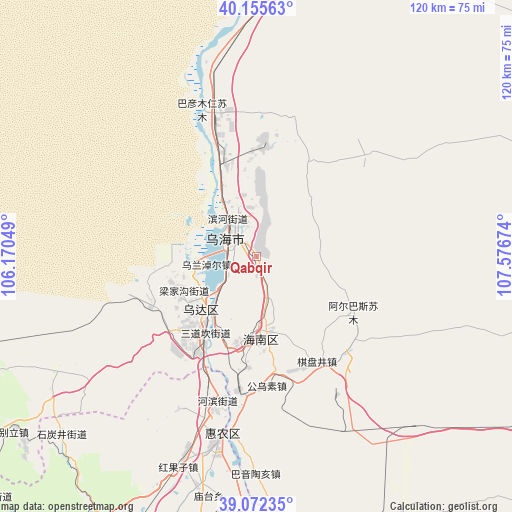
Qabqir GPS coordinates[2]
39° 36' 57.996" North, 106° 52' 24.996" East
| Map corner | latitude | longitude |
|---|---|---|
| Upper-left | 40.15563°, | 106.17049° |
| Center: | 39.61611°, | 106.87361° |
| Lower-right: | 39.07235°, | 107.57674° |
| Map W x H: | 120.4×120.4 km | = 74.8×74.8mi |
| max Lat: | 53.31946° ⇑15% North |
| Qabqir: | 39.61611° |
| min Lat: | ⇓85% South 18.22056° |
| min Long | Qabqir | max Long |
| 75.07348° | 106.87361° | 134.28917° |
| W 16%⇐ | ⇒84% E |
Elevation
Elevation of Qabqir is 1226 m = 4022 ft, and this is 741.2 m = 2432 ft above average elevation for this country.
| Max E: |
5622 m = 18445 ft | 11.5% |
| Qabqir | 1226 m 4022 ft | |
| Avg. | 484.8 m = 1591 ft | |
Min E: |
-3 m = -10 ft | 88.5% |
See also: China elevation on elevation.city.
Geographical zone
Qabqir is located in North temperate zone (between Tropic of Cancer and the Arctic Circle). Distance of this Northern Tropic circle is 1799 km =1117.8 mi to South.| Distance of | km | miles | from Qabqir |
|---|---|---|---|
| North Pole | 5602.2 | 3481 | to North |
| Arctic Circle | 2996.3 | 1861.8 | to North |
| Tropic Cancer | 1799 | 1117.8 | to South |
| Equator | 4404.9 | 2737.1 | to South |


Nearby cities:
15 places around Qabqir: (largest is in red/bold)
• Bayan Gol
76.6 km =47.6 mi,  7°
7°
• Bayan Hot
135.1 km =83.9 mi,  230°
230°
• Bayan Nur
132.5 km =82.3 mi,  19°
19°
• Bayinsai
18.4 km =11.4 mi, 225°
• Beijie
44.7 km =27.8 mi,  191°
191°
• Dawukou
75.9 km =47.2 mi,  212°
212°
• Lasengmiao
32.7 km =20.3 mi, 185°
• Pingluo Chengguanzhen
84.2 km =52.3 mi,  199°
199°
• Shitanjing
62.2 km =38.6 mi, 226°
• Shizuishan
43.5 km =27 mi, 191°
• Ulan
111.5 km =69.3 mi,  121°
121°
• Wuda
19 km =11.8 mi, 226°
• Wuhai
9.1 km =5.7 mi,  326°
326°
• Xigang
126.7 km =78.7 mi, 200°
• Yinchuan
137.8 km =85.6 mi, 202°
Sources, notices
• [Note1] Compared only with cities in China existing in our database
• [Src1] Map data: © OpenStreetMap contributors (CC-BY-SA)
• [Src2] Other city data from geonames.org with taken over terms of usage.
• [Src3] Geographical zone / Annual Mean Temperature by Robert A. Rohde @ Wikipedia
