Curbaradó geodata
Curbaradó (Chocó) is a seat of a second-order administrative division; located in Colombia in America/Bogota (GMT-5) time zone. In our database, there are 1053 cities with bigger population. Compared to other cities in Colombia, 75.7% of cities are located further ↓South; 92% of cities are located further →East and 97.9% of cities have higher elevation than Curbaradó. Note1


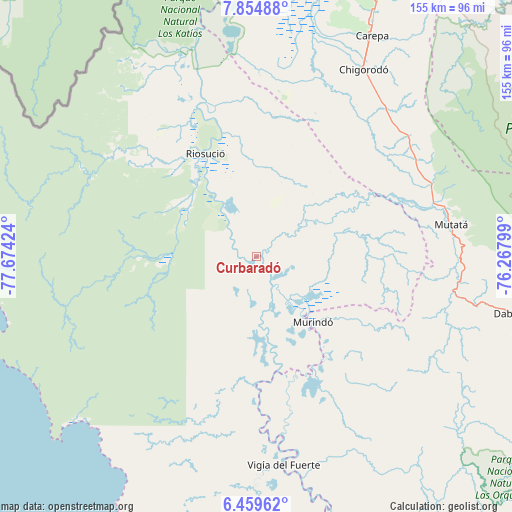
Curbaradó GPS coordinates[2]
7° 9' 28.008" North, 76° 58' 15.996" West
| Map corner | latitude | longitude |
|---|---|---|
| Upper-left | 7.85488°, | -77.67424° |
| Center: | 7.15778°, | -76.97111° |
| Lower-right: | 6.45962°, | -76.26799° |
| Map W x H: | 155.1×155.1 km | = 96.4×96.4mi |
| max Lat: | 13.38166° ⇑24.3% North |
| Curbaradó: | 7.15778° |
| min Lat: | ⇓75.7% South -4.21528° |
| min Long | Curbaradó | max Long |
| -81.70636° | -76.97111° | -67.06996° |
| W 8%⇐ | ⇒92% E |
Elevation
Elevation of Curbaradó is 7 m = 23 ft, and this is 1142.3 m = 3748 ft below average elevation for this country.
| Max E: |
3342 m = 10965 ft | 97.9% |
| Avg. | 1149.3 m = 3771 ft | |
| Curbaradó | 7 m = 23 ft | |
Min E: |
1 m = 3 ft | 2.1% |
See also: Colombia elevation on elevation.city.
Geographical zone
Curbaradó is located in North Torrid zone (between Equator and Tropic of Cancer). Distance of Equator is 795.9 km =494.5 mi to South.| Distance of | km | miles | from Curbaradó |
|---|---|---|---|
| North Pole | 9211.2 | 5723.6 | to North |
| Arctic Circle | 6605.3 | 4104.3 | to North |
| Tropic Cancer | 1810 | 1124.7 | to North |
| Equator | 795.9 | 494.5 | to South |


Nearby cities:
15 places around Curbaradó: (largest is in red/bold)
• Apartadó
89.2 km =55.4 mi,  25°
25°
• Bellavista
67.6 km =42 mi,  171°
171°
• Carepa
75.5 km =46.9 mi, 27°
• Cañasgordas
113.8 km =70.7 mi,  113°
113°
• Chigorodó
65 km =40.4 mi, 29°
• Dabeiba
79.4 km =49.3 mi,  102°
102°
• Frontino
102 km =63.4 mi, 114°
• Juradó
87.5 km =54.4 mi,  266°
266°
• Murindó
25.7 km =16 mi,  139°
139°
• Mutatá
59.8 km =37.2 mi,  80°
80°
• Riosucio
35.7 km =22.2 mi,  332°
332°
• Turbo
107.3 km =66.7 mi,  14°
14°
• Unguía
99.4 km =61.8 mi,  352°
352°
• Uramita
92.5 km =57.5 mi, 108°
• Vigía del Fuerte
63.7 km =39.6 mi, 172°
Sources, notices
• [Note1] Compared only with cities in Colombia existing in our database
• [Src1] Map data: © OpenStreetMap contributors (CC-BY-SA)
• [Src2] Other city data from geonames.org with taken over terms of usage.
• [Src3] Geographical zone / Annual Mean Temperature by Robert A. Rohde @ Wikipedia
