Upala geodata
Upala (Alajuela) is a populated place; located in Costa Rica in America/Costa_Rica (GMT-6) time zone. With population of 4,185 people, there are 83 cities with bigger population in this country. Compared to other cities in Costa Rica, 97.8% of cities are located further ↓South; 88.1% of cities are located further →East and 84.3% of cities have higher elevation than Upala. Note1


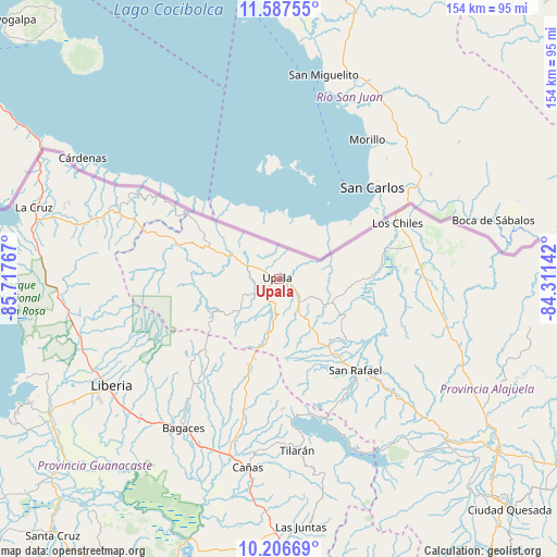
Upala GPS coordinates[2]
10° 53' 52.512" North, 85° 0' 52.344" West
| Map corner | latitude | longitude |
|---|---|---|
| Upper-left | 11.58755°, | -85.71767° |
| Center: | 10.89792°, | -85.01454° |
| Lower-right: | 10.20669°, | -84.31142° |
| Map W x H: | 153.5×153.5 km | = 95.4×95.4mi |
| max Lat: | 11.07377° ⇑2.2% North |
| Upala: | 10.89792° |
| min Lat: | ⇓97.8% South 8.53305° |
| min Long | Upala | max Long |
| -85.64748° | -85.01454° | -82.62185° |
| W 11.9%⇐ | ⇒88.1% E |
Elevation
Elevation of Upala is 52 m = 171 ft, and this is 683 m = 2241 ft below average elevation for this country.
| Max E: |
1844 m = 6050 ft | 84.3% |
| Avg. | 735 m = 2411 ft | |
| Upala | 52 m = 171 ft | |
Min E: |
7 m = 23 ft | 15.7% |
See also: Costa Rica elevation on elevation.city.
Geographical zone
Upala is located in North Torrid zone (between Equator and Tropic of Cancer). Distance of Equator is 1211.7 km =752.9 mi to South.| Distance of | km | miles | from Upala |
|---|---|---|---|
| North Pole | 8795.3 | 5465.1 | to North |
| Arctic Circle | 6189.4 | 3845.9 | to North |
| Tropic Cancer | 1394.2 | 866.3 | to North |
| Equator | 1211.7 | 752.9 | to South |


Nearby cities:
15 places around Upala: (largest is in red/bold)
• Bagaces
49.1 km =30.5 mi,  212°
212°
• Belén
83.1 km =51.6 mi,  229°
229°
• Bijagua
18.9 km =11.7 mi,  194°
194°
• Cañas
52.7 km =32.7 mi, 189°
• Florencia
83.9 km =52.1 mi,  135°
135°
• Fortuna
32.1 km =19.9 mi,  219°
219°
• Juntas
68.9 km =42.8 mi,  174°
174°
• La Cruz
70.3 km =43.7 mi,  286°
286°
• La Fortuna
62.3 km =38.7 mi, 139°
• Liberia
54.7 km =34 mi,  237°
237°
• Los Chiles
35.8 km =22.2 mi,  65°
65°
• Pocosol
73.3 km =45.5 mi, 143°
• San José
14.6 km =9.1 mi, 294°
• Sardinal
81.1 km =50.4 mi, 238°
• Tilarán
48.2 km =30 mi, 173°
Sources, notices
• [Note1] Compared only with cities in Costa Rica existing in our database
• [Src1] Map data: © OpenStreetMap contributors (CC-BY-SA)
• [Src2] Other city data from geonames.org with taken over terms of usage.
• [Src3] Geographical zone / Annual Mean Temperature by Robert A. Rohde @ Wikipedia
