Bijagua geodata
Bijagua (Alajuela) is a populated place; located in Costa Rica in America/Costa_Rica (GMT-6) time zone. With population of 1,090 people, there are 115 cities with bigger population in this country. Compared to other cities in Costa Rica, 97% of cities are located further ↓South; 88.8% of cities are located further →East and 62.7% of cities have higher elevation than Bijagua. Note1


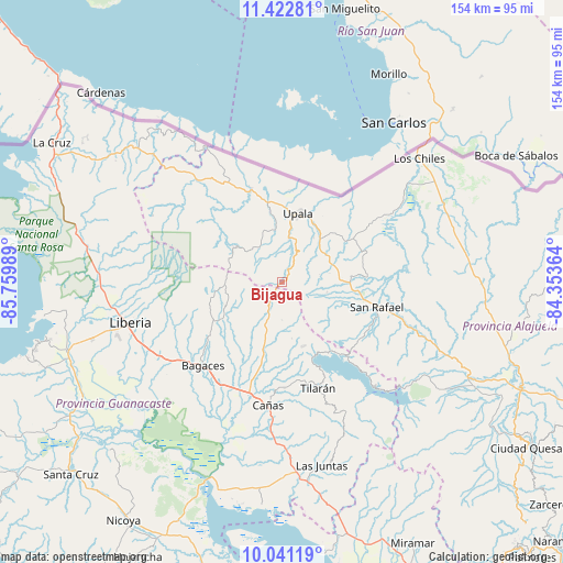
Bijagua GPS coordinates[2]
10° 43' 58.044" North, 85° 3' 24.336" West
| Map corner | latitude | longitude |
|---|---|---|
| Upper-left | 11.42281°, | -85.75989° |
| Center: | 10.73279°, | -85.05676° |
| Lower-right: | 10.04119°, | -84.35364° |
| Map W x H: | 153.6×153.6 km | = 95.4×95.4mi |
| max Lat: | 11.07377° ⇑3% North |
| Bijagua: | 10.73279° |
| min Lat: | ⇓97% South 8.53305° |
| min Long | Bijagua | max Long |
| -85.64748° | -85.05676° | -82.62185° |
| W 11.2%⇐ | ⇒88.8% E |
Elevation
Elevation of Bijagua is 434 m = 1424 ft, and this is 301 m = 988 ft below average elevation for this country.
| Max E: |
1844 m = 6050 ft | 62.7% |
| Avg. | 735 m = 2411 ft | |
| Bijagua | 434 m = 1424 ft | |
Min E: |
7 m = 23 ft | 37.3% |
See also: Costa Rica elevation on elevation.city.
Geographical zone
Bijagua is located in North Torrid zone (between Equator and Tropic of Cancer). Distance of Equator is 1193.4 km =741.5 mi to South.| Distance of | km | miles | from Bijagua |
|---|---|---|---|
| North Pole | 8813.7 | 5476.6 | to North |
| Arctic Circle | 6207.8 | 3857.3 | to North |
| Tropic Cancer | 1412.5 | 877.7 | to North |
| Equator | 1193.4 | 741.5 | to South |


Nearby cities:
15 places around Bijagua: (largest is in red/bold)
• Bagaces
31.7 km =19.7 mi,  223°
223°
• Belén
68.4 km =42.5 mi,  238°
238°
• Cañas
33.9 km =21.1 mi,  187°
187°
• Florencia
75.8 km =47.1 mi,  123°
123°
• Fortuna
17 km =10.6 mi,  247°
247°
• Juntas
51.4 km =31.9 mi,  168°
168°
• La Cruz
73.4 km =45.6 mi,  301°
301°
• La Fortuna
53.6 km =33.3 mi, 122°
• Liberia
43 km =26.7 mi,  255°
255°
• Los Chiles
50 km =31.1 mi,  48°
48°
• Pocosol
63 km =39.1 mi,  130°
130°
• San José
25.8 km =16 mi,  340°
340°
• Sardinal
68.9 km =42.8 mi, 249°
• Tilarán
31.1 km =19.3 mi,  161°
161°
• Upala
18.9 km =11.7 mi,  14°
14°
Sources, notices
• [Note1] Compared only with cities in Costa Rica existing in our database
• [Src1] Map data: © OpenStreetMap contributors (CC-BY-SA)
• [Src2] Other city data from geonames.org with taken over terms of usage.
• [Src3] Geographical zone / Annual Mean Temperature by Robert A. Rohde @ Wikipedia
