Kousa geodata
Kousa (Qena) is a populated place; located in Egypt in Africa/Cairo (GMT+2) time zone. With population of 60,181 people, there are 70 cities with bigger population in this country. Compared to other cities in Egypt, 94.2% of cities are located further ↑North; 85.5% of cities are located further ←West and 88.4% of cities have lower elevation than Kousa. Note1


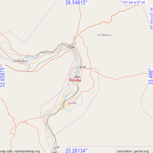
Kousa GPS coordinates[2]
25° 54' 55.584" North, 32° 45' 46.332" East
| Map corner | latitude | longitude |
|---|---|---|
| Upper-left | 26.54615°, | 32.05975° |
| Center: | 25.91544°, | 32.76287° |
| Lower-right: | 25.28134°, | 33.466° |
| Map W x H: | 140.6×140.6 km | = 87.4×87.4mi |
| max Lat: | 31.5084° ⇑94.2% North |
| Kousa: | 25.91544° |
| min Lat: | ⇓5.8% South 22.3457° |
| min Long | Kousa | max Long |
| 25.51965° | 32.76287° | 34.89572° |
| W 85.5%⇐ | ⇒14.5% E |
Elevation
Elevation of Kousa is 76 m = 249 ft, and this is 32.5 m = 107 ft above average elevation for this country.
| Max E: |
1565 m = 5135 ft | 11.6% |
| Kousa | 76 m 249 ft | |
| Avg. | 43.5 m = 143 ft | |
Min E: |
-15 m = -49 ft | 88.4% |
See also: Kousa elevation on elevation.city.
Geographical zone
Kousa is located in North temperate zone (between Tropic of Cancer and the Arctic Circle). Distance of this Northern Tropic circle is 275.6 km =171.2 mi to South.| Distance of | km | miles | from Kousa |
|---|---|---|---|
| North Pole | 7125.5 | 4427.6 | to North |
| Arctic Circle | 4519.6 | 2808.3 | to North |
| Tropic Cancer | 275.6 | 171.2 | to South |
| Equator | 2881.5 | 1790.5 | to South |


Nearby cities:
15 places around Kousa: (largest is in red/bold)
• Akhmīm
124.4 km =77.3 mi,  305°
305°
• Al Balyanā
83.8 km =52.1 mi,  295°
295°
• Al Manshāh
114.3 km =71 mi, 303°
• Al Quşayr
152.8 km =94.9 mi,  82°
82°
• Dishnā
36.9 km =22.9 mi, 309°
• Farshūţ
61.9 km =38.5 mi,  284°
284°
• Idfū
104.7 km =65.1 mi,  173°
173°
• Isnā
72.3 km =44.9 mi,  196°
196°
• Jirjā
98.9 km =61.5 mi, 298°
• Juhaynah
151.7 km =94.3 mi, 303°
• Luxor
26.9 km =16.7 mi,  206°
206°
• Naja' Ḥammādī
54.2 km =33.7 mi,  285°
285°
• Qinā
27.9 km =17.3 mi,  352°
352°
• Safaga
149.4 km =92.8 mi,  51°
51°
• Sohag
128.2 km =79.7 mi, 303°
Sources, notices
• [Note1] Compared only with cities in Egypt existing in our database
• [Src1] Map data: © OpenStreetMap contributors (CC-BY-SA)
• [Src2] Other city data from geonames.org with taken over terms of usage.
• [Src3] Geographical zone / Annual Mean Temperature by Robert A. Rohde @ Wikipedia
