Al Quşayr geodata
Al Quşayr (Red Sea) is a populated place; located in Egypt in Africa/Cairo (GMT+2) time zone. With population of 24,653 people, there are 118 cities with bigger population in this country. Compared to other cities in Egypt, 92% of cities are located further ↑North; 96.4% of cities are located further ←West and 58% of cities have lower elevation than Al Quşayr. Note1


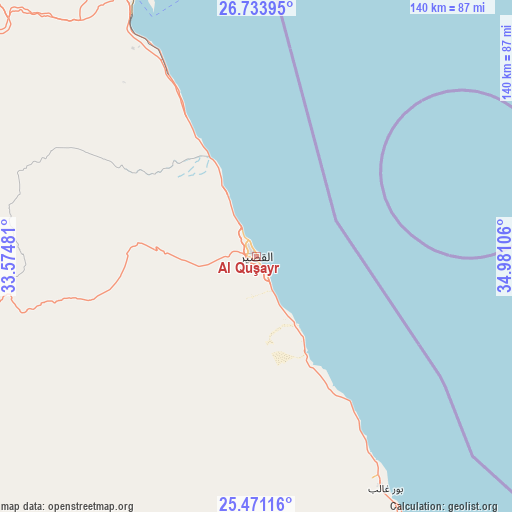
Al Quşayr GPS coordinates[2]
26° 6' 15.336" North, 34° 16' 40.548" East
| Map corner | latitude | longitude |
|---|---|---|
| Upper-left | 26.73395°, | 33.57481° |
| Center: | 26.10426°, | 34.27793° |
| Lower-right: | 25.47116°, | 34.98106° |
| Map W x H: | 140.4×140.4 km | = 87.2×87.2mi |
| max Lat: | 31.5084° ⇑92% North |
| Al Quşayr: | 26.10426° |
| min Lat: | ⇓8% South 22.3457° |
| min Long | Al Quşayr | max Long |
| 25.51965° | 34.27793° | 34.89572° |
| W 96.4%⇐ | ⇒3.6% E |
Elevation
Elevation of Al Quşayr is 21 m = 69 ft, and this is 22.5 m = 74 ft below average elevation for this country.
| Max E: |
1565 m = 5135 ft | 42% |
| Avg. | 43.5 m = 143 ft | |
| Al Quşayr | 21 m = 69 ft | |
Min E: |
-15 m = -49 ft | 58% |
See also: Egypt elevation on elevation.city.
Geographical zone
Al Quşayr is located in North temperate zone (between Tropic of Cancer and the Arctic Circle). Distance of this Northern Tropic circle is 296.6 km =184.3 mi to South.| Distance of | km | miles | from Al Quşayr |
|---|---|---|---|
| North Pole | 7104.5 | 4414.5 | to North |
| Arctic Circle | 4498.7 | 2795.4 | to North |
| Tropic Cancer | 296.6 | 184.3 | to South |
| Equator | 2902.5 | 1803.5 | to South |


Nearby cities:
15 places around Al Quşayr: (largest is in red/bold)
• Dishnā
179.9 km =111.8 mi,  270°
270°
• El Gouna
155.3 km =96.5 mi,  337°
337°
• Farshūţ
211.3 km =131.3 mi, 268°
• Hurghada
136.3 km =84.7 mi, 340°
• Idfū
188.1 km =116.9 mi,  228°
228°
• Isnā
194.8 km =121 mi,  242°
242°
• Kawm Umbū
225.1 km =139.9 mi,  216°
216°
• Kousa
152.8 km =94.9 mi,  262°
262°
• Luxor
169.7 km =105.4 mi,  254°
254°
• Makadi Bay
105.6 km =65.6 mi, 339°
• Marsa Alam
131 km =81.4 mi,  152°
152°
• Naja' Ḥammādī
203.5 km =126.4 mi, 268°
• Qinā
155 km =96.3 mi, 272°
• Safaga
79.2 km =49.2 mi,  334°
334°
• Sharm el-Sheikh
201.5 km =125.2 mi,  1°
1°
Sources, notices
• [Note1] Compared only with cities in Egypt existing in our database
• [Src1] Map data: © OpenStreetMap contributors (CC-BY-SA)
• [Src2] Other city data from geonames.org with taken over terms of usage.
• [Src3] Geographical zone / Annual Mean Temperature by Robert A. Rohde @ Wikipedia
