Dishnā geodata
Dishnā (Qena) is a populated place; located in Egypt in Africa/Cairo (GMT+2) time zone. With population of 54,197 people, there are 80 cities with bigger population in this country. Compared to other cities in Egypt, 91.3% of cities are located further ↑North; 81.9% of cities are located further ←West and 87% of cities have lower elevation than Dishnā. Note1


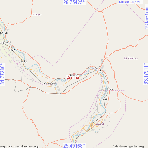
Dishnā GPS coordinates[2]
26° 7' 28.812" North, 32° 28' 33.528" East
| Map corner | latitude | longitude |
|---|---|---|
| Upper-left | 26.75425°, | 31.77286° |
| Center: | 26.12467°, | 32.47598° |
| Lower-right: | 25.49168°, | 33.17911° |
| Map W x H: | 140.4×140.4 km | = 87.2×87.2mi |
| max Lat: | 31.5084° ⇑91.3% North |
| Dishnā: | 26.12467° |
| min Lat: | ⇓8.7% South 22.3457° |
| min Long | Dishnā | max Long |
| 25.51965° | 32.47598° | 34.89572° |
| W 81.9%⇐ | ⇒18.1% E |
Elevation
Elevation of Dishnā is 75 m = 246 ft, and this is 31.5 m = 103 ft above average elevation for this country.
| Max E: |
1565 m = 5135 ft | 13% |
| Dishnā | 75 m 246 ft | |
| Avg. | 43.5 m = 143 ft | |
Min E: |
-15 m = -49 ft | 87% |
See also: Dishnā elevation on elevation.city.
Geographical zone
Dishnā is located in North temperate zone (between Tropic of Cancer and the Arctic Circle). Distance of this Northern Tropic circle is 298.9 km =185.7 mi to South.| Distance of | km | miles | from Dishnā |
|---|---|---|---|
| North Pole | 7102.3 | 4413.2 | to North |
| Arctic Circle | 4496.4 | 2793.9 | to North |
| Tropic Cancer | 298.9 | 185.7 | to South |
| Equator | 2904.8 | 1805 | to South |


Nearby cities:
15 places around Dishnā: (largest is in red/bold)
• Akhmīm
87.6 km =54.4 mi,  303°
303°
• Al Badārī
143 km =88.9 mi,  312°
312°
• Al Balyanā
48.7 km =30.3 mi,  284°
284°
• Al Manshāh
77.6 km =48.2 mi, 300°
• Farshūţ
32.2 km =20 mi,  256°
256°
• Idfū
133.6 km =83 mi,  162°
162°
• Isnā
92.8 km =57.7 mi,  175°
175°
• Jirjā
62.9 km =39.1 mi,  292°
292°
• Juhaynah
115 km =71.5 mi, 302°
• Kousa
36.9 km =22.9 mi,  129°
129°
• Luxor
50.2 km =31.2 mi, 160°
• Naja' Ḥammādī
24.9 km =15.5 mi,  250°
250°
• Qinā
25.4 km =15.8 mi,  80°
80°
• Sohag
91.5 km =56.9 mi, 301°
• Ţahţā
120.6 km =74.9 mi, 306°
Sources, notices
• [Note1] Compared only with cities in Egypt existing in our database
• [Src1] Map data: © OpenStreetMap contributors (CC-BY-SA)
• [Src2] Other city data from geonames.org with taken over terms of usage.
• [Src3] Geographical zone / Annual Mean Temperature by Robert A. Rohde @ Wikipedia
