Wassa-Akropong geodata
Wassa-Akropong (Western) is a seat of a second-order administrative division; located in Ghana in Africa/Accra (GMT+0) time zone. In our database, there are 70 cities with bigger population. Compared to other cities in Ghana, 66.7% of cities are located further ↑North; 87.5% of cities are located further →East and 63.9% of cities have higher elevation than Wassa-Akropong. Note1


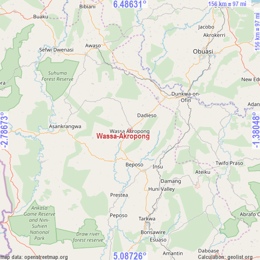
Wassa-Akropong GPS coordinates[2]
5° 47' 13.992" North, 2° 5' 0.996" West
| Map corner | latitude | longitude |
|---|---|---|
| Upper-left | 6.48631°, | -2.78673° |
| Center: | 5.78722°, | -2.08361° |
| Lower-right: | 5.08726°, | -1.38048° |
| Map W x H: | 155.6×155.6 km | = 96.7×96.7mi |
| max Lat: | 11.0616° ⇑66.7% North |
| Wassa-Akropong: | 5.78722° |
| min Lat: | ⇓33.3% South 4.86641° |
| min Long | Wassa-Akropong | max Long |
| -2.78516° | -2.08361° | 1.19012° |
| W 12.5%⇐ | ⇒87.5% E |
Elevation
Elevation of Wassa-Akropong is 86 m = 282 ft, and this is 84.2 m = 276 ft below average elevation for this country.
| Max E: |
477 m = 1565 ft | 63.9% |
| Avg. | 170.2 m = 558 ft | |
| Wassa-Akropong | 86 m = 282 ft | |
Min E: |
0 m = 0 ft | 36.1% |
See also: Ghana elevation on elevation.city.
Geographical zone
Wassa-Akropong is located in North Torrid zone (between Equator and Tropic of Cancer). Distance of Equator is 643.5 km =399.9 mi to South.| Distance of | km | miles | from Wassa-Akropong |
|---|---|---|---|
| North Pole | 9363.6 | 5818.3 | to North |
| Arctic Circle | 6757.7 | 4199 | to North |
| Tropic Cancer | 1962.4 | 1219.4 | to North |
| Equator | 643.5 | 399.9 | to South |


Nearby cities:
15 places around Wassa-Akropong: (largest is in red/bold)
• Aboso
49.7 km =30.9 mi,  162°
162°
• Axim
103.9 km =64.6 mi,  189°
189°
• Bekwai
92.6 km =57.5 mi,  37°
37°
• Bibiani
79.6 km =49.5 mi,  340°
340°
• Dunkwa
38.9 km =24.2 mi,  60°
60°
• Elmina
112.6 km =70 mi,  133°
133°
• Foso
88.7 km =55.1 mi,  96°
96°
• Kumasi
112.3 km =69.8 mi,  26°
26°
• Obuase
65.1 km =40.5 mi, 44°
• Prestea
39.8 km =24.7 mi, 189°
• Sekondi-Takoradi
102.2 km =63.5 mi, 159°
• Shama Junction
97.3 km =60.5 mi,  151°
151°
• Tafo
117.1 km =72.8 mi, 26°
• Takoradi
105.1 km =65.3 mi, 160°
• Tarkwa
54.7 km =34 mi,  169°
169°
Sources, notices
• [Note1] Compared only with cities in Ghana existing in our database
• [Src1] Map data: © OpenStreetMap contributors (CC-BY-SA)
• [Src2] Other city data from geonames.org with taken over terms of usage.
• [Src3] Geographical zone / Annual Mean Temperature by Robert A. Rohde @ Wikipedia
