Siguiri geodata
Siguiri (Kankan) is a seat of a second-order administrative division; located in Guinea in Africa/Conakry (GMT+0) time zone. With population of 43,601 people, there are 10 cities with bigger population in this country. Compared to other cities in Guinea, 82.1% of cities are located further ↓South; 87.2% of cities are located further ←West and 64.1% of cities have higher elevation than Siguiri. Note1


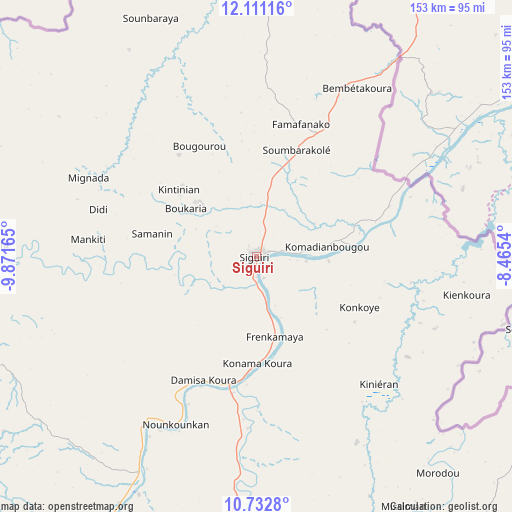
Siguiri GPS coordinates[2]
11° 25' 22.152" North, 9° 10' 6.672" West
| Map corner | latitude | longitude |
|---|---|---|
| Upper-left | 12.11116°, | -9.87165° |
| Center: | 11.42282°, | -9.16852° |
| Lower-right: | 10.7328°, | -8.4654° |
| Map W x H: | 153.3×153.3 km | = 95.3×95.3mi |
| max Lat: | 12.5311° ⇑17.9% North |
| Siguiri: | 11.42282° |
| min Lat: | ⇓82.1% South 7.56748° |
| min Long | Siguiri | max Long |
| -14.36667° | -9.16852° | -8.53333° |
| W 87.2%⇐ | ⇒12.8% E |
Elevation
Elevation of Siguiri is 368 m = 1207 ft, and this is 65.4 m = 215 ft below average elevation for this country.
| Max E: |
1440 m = 4724 ft | 64.1% |
| Avg. | 433.4 m = 1422 ft | |
| Siguiri | 368 m = 1207 ft | |
Min E: |
0 m = 0 ft | 35.9% |
See also: Siguiri elevation on elevation.city.
Geographical zone
Siguiri is located in North Torrid zone (between Equator and Tropic of Cancer). Distance of Equator is 1270.1 km =789.2 mi to South.| Distance of | km | miles | from Siguiri |
|---|---|---|---|
| North Pole | 8737 | 5428.9 | to North |
| Arctic Circle | 6131.1 | 3809.7 | to North |
| Tropic Cancer | 1335.8 | 830 | to North |
| Equator | 1270.1 | 789.2 | to South |


Nearby cities:
15 places around Siguiri: (largest is in red/bold)
• Beyla
309.1 km =192.1 mi,  169°
169°
• Dabola
224.7 km =139.6 mi,  250°
250°
• Dinguiraye
168.9 km =104.9 mi,  265°
265°
• Faranah
230.7 km =143.4 mi,  228°
228°
• Gueckedou
334.6 km =207.9 mi,  198°
198°
• Kankan
116.3 km =72.3 mi,  187°
187°
• Kissidougou
268.9 km =167.1 mi, 202°
• Koubia
297.6 km =184.9 mi, 273°
• Kouroussa
116.1 km =72.1 mi,  222°
222°
• Kérouané
240.3 km =149.3 mi,  176°
176°
• Macenta
321.9 km =200 mi, 185°
• Mamou
339.7 km =211.1 mi, 249°
• Mandiana
102.6 km =63.8 mi,  149°
149°
• Tokonou
208.3 km =129.4 mi, 198°
• Tougué
272 km =169 mi, 270°
Sources, notices
• [Note1] Compared only with cities in Guinea existing in our database
• [Src1] Map data: © OpenStreetMap contributors (CC-BY-SA)
• [Src2] Other city data from geonames.org with taken over terms of usage.
• [Src3] Geographical zone / Annual Mean Temperature by Robert A. Rohde @ Wikipedia
