Ebebiyin geodata
Ebebiyin (Kié-Ntem) is a seat of a first-order administrative division; located in Equatorial Guinea in Africa/Malabo (GMT+1) time zone. With population of 24,831 people, there are 2 cities with bigger population in this country. Compared to other cities in Equatorial Guinea, 70.8% of cities are located further ↓South; 100% of cities are located further ←West and 70.8% of cities have lower elevation than Ebebiyin. Note1


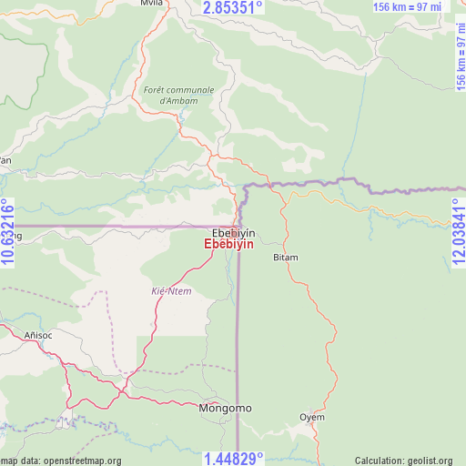
Ebebiyin GPS coordinates[2]
2° 9' 3.816" North, 11° 20' 7.008" East
| Map corner | latitude | longitude |
|---|---|---|
| Upper-left | 2.85351°, | 10.63216° |
| Center: | 2.15106°, | 11.33528° |
| Lower-right: | 1.44829°, | 12.03841° |
| Map W x H: | 156.2×156.3 km | = 97.1×97.1mi |
| max Lat: | 3.75578° ⇑29.2% North |
| Ebebiyin: | 2.15106° |
| min Lat: | ⇓70.8% South -1.4068° |
| min Long | Ebebiyin | max Long |
| 5.63178° | 11.33528° | 11.33528° |
| W 100%⇐ | ⇒0% E |
Elevation
Elevation of Ebebiyin is 561 m = 1841 ft, and this is 189 m = 620 ft above average elevation for this country.
| Max E: |
1278 m = 4193 ft | 29.2% |
| Ebebiyin | 561 m 1841 ft | |
| Avg. | 372 m = 1220 ft | |
Min E: |
4 m = 13 ft | 70.8% |
See also: Equatorial Guinea elevation on elevation.city.
Geographical zone
Ebebiyin is located in North Torrid zone (between Equator and Tropic of Cancer). Distance of Equator is 239.2 km =148.6 mi to South.| Distance of | km | miles | from Ebebiyin |
|---|---|---|---|
| North Pole | 9767.9 | 6069.5 | to North |
| Arctic Circle | 7162 | 4450.3 | to North |
| Tropic Cancer | 2366.7 | 1470.6 | to North |
| Equator | 239.2 | 148.6 | to South |


Nearby cities:
15 places around Ebebiyin: (largest is in red/bold)
• Aconibe
104.8 km =65.1 mi,  204°
204°
• Acurenam
145.9 km =90.7 mi,  211°
211°
• Ayene
78.9 km =49 mi,  245°
245°
• Añisoc
70.5 km =43.8 mi,  243°
243°
• Bata
177.3 km =110.2 mi,  259°
259°
• Bicurga
115.4 km =71.7 mi, 236°
• Evinayong
117.9 km =73.3 mi,  227°
227°
• Machinda
156.7 km =97.4 mi, 259°
• Mbini
201.4 km =125.1 mi, 251°
• Mikomeseng
80.2 km =49.8 mi,  268°
268°
• Mongomo
58.3 km =36.2 mi,  182°
182°
• Ncue
97.2 km =60.4 mi, 261°
• Nsang
45.5 km =28.3 mi, 252°
• Nsok
113.8 km =70.7 mi, 183°
• Río Campo
169.4 km =105.3 mi,  277°
277°
Sources, notices
• [Note1] Compared only with cities in Equatorial Guinea existing in our database
• [Src1] Map data: © OpenStreetMap contributors (CC-BY-SA)
• [Src2] Other city data from geonames.org with taken over terms of usage.
• [Src3] Geographical zone / Annual Mean Temperature by Robert A. Rohde @ Wikipedia
