Añisoc geodata
Añisoc (Wele-Nzas) is a populated place; located in Equatorial Guinea in Africa/Malabo (GMT+1) time zone. With population of 10,191 people, there are 4 cities with bigger population in this country. Compared to other cities in Equatorial Guinea, 50% of cities are located further ↓South; 79.2% of cities are located further ←West and 58.3% of cities have lower elevation than Añisoc. Note1


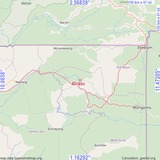
Añisoc GPS coordinates[2]
1° 51' 56.88" North, 10° 46' 8.112" East
| Map corner | latitude | longitude |
|---|---|---|
| Upper-left | 2.56839°, | 10.0658° |
| Center: | 1.8658°, | 10.76892° |
| Lower-right: | 1.16292°, | 11.47205° |
| Map W x H: | 156.3×156.3 km | = 97.1×97.1mi |
| max Lat: | 3.75578° ⇑50% North |
| Añisoc: | 1.8658° |
| min Lat: | ⇓50% South -1.4068° |
| min Long | Añisoc | max Long |
| 5.63178° | 10.76892° | 11.33528° |
| W 79.2%⇐ | ⇒20.8% E |
Elevation
Elevation of Añisoc is 456 m = 1496 ft, and this is 84 m = 276 ft above average elevation for this country.
| Max E: |
1278 m = 4193 ft | 41.7% |
| Añisoc | 456 m 1496 ft | |
| Avg. | 372 m = 1220 ft | |
Min E: |
4 m = 13 ft | 58.3% |
See also: Equatorial Guinea elevation on elevation.city.
Geographical zone
Añisoc is located in North Torrid zone (between Equator and Tropic of Cancer). Distance of Equator is 207.5 km =128.9 mi to South.| Distance of | km | miles | from Añisoc |
|---|---|---|---|
| North Pole | 9799.6 | 6089.2 | to North |
| Arctic Circle | 7193.7 | 4470 | to North |
| Tropic Cancer | 2398.5 | 1490.4 | to North |
| Equator | 207.5 | 128.9 | to South |


Nearby cities:
15 places around Añisoc: (largest is in red/bold)
• Aconibe
66 km =41 mi,  163°
163°
• Acurenam
93.6 km =58.2 mi,  188°
188°
• Ayene
8.8 km =5.5 mi,  262°
262°
• Bata
111.5 km =69.3 mi,  269°
269°
• Bicurga
46.1 km =28.6 mi,  226°
226°
• Ebebiyin
70.5 km =43.8 mi,  63°
63°
• Evinayong
53.5 km =33.2 mi,  206°
206°
• Machinda
90.9 km =56.5 mi, 271°
• Mbini
132.1 km =82.1 mi, 256°
• Mikomeseng
34.7 km =21.6 mi,  330°
330°
• Mongomo
66.1 km =41.1 mi,  113°
113°
• Ncue
37.1 km =23.1 mi,  296°
296°
• Nsang
26.4 km =16.4 mi,  48°
48°
• Nsok
98.7 km =61.3 mi,  145°
145°
• Río Campo
117.6 km =73.1 mi, 296°
Sources, notices
• [Note1] Compared only with cities in Equatorial Guinea existing in our database
• [Src1] Map data: © OpenStreetMap contributors (CC-BY-SA)
• [Src2] Other city data from geonames.org with taken over terms of usage.
• [Src3] Geographical zone / Annual Mean Temperature by Robert A. Rohde @ Wikipedia
