Acurenam geodata
Acurenam (Centro Sur) is a populated place; located in Equatorial Guinea in Africa/Malabo (GMT+1) time zone. With population of 2,736 people, there are 16 cities with bigger population in this country. Compared to other cities in Equatorial Guinea, 95.8% of cities are located further ↑North; 70.8% of cities are located further ←West and 87.5% of cities have lower elevation than Acurenam. Note1


Acurenam GPS coordinates[2]
1° 1' 56.1" North, 10° 38' 55.752" East
| Map corner | latitude | longitude |
|---|---|---|
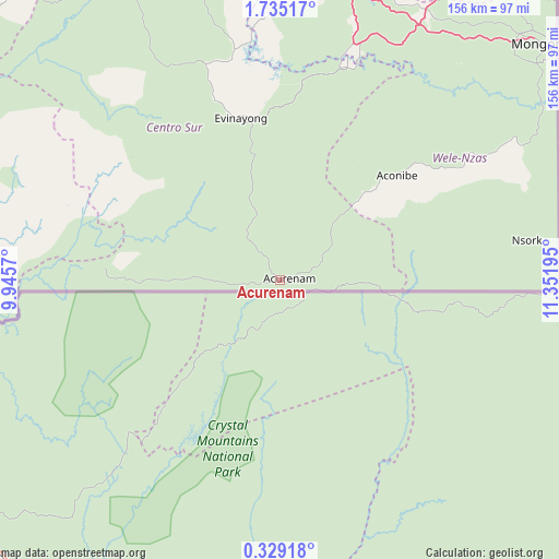
| Upper-left | 1.73517°, | 9.9457° |
| Center: | 1.03225°, | 10.64882° |
| Lower-right: | 0.32918°, | 11.35195° |
| Map W x H: | 156.3×156.3 km | = 97.1×97.1mi |
| max Lat: | 3.75578° ⇑95.8% North |
| Acurenam: | 1.03225° |
| min Lat: | ⇓4.2% South -1.4068° |
| min Long | Acurenam | max Long |
| 5.63178° | 10.64882° | 11.33528° |
| W 70.8%⇐ | ⇒29.2% E |
Elevation
Elevation of Acurenam is 661 m = 2169 ft, and this is 289 m = 948 ft above average elevation for this country.
| Max E: |
1278 m = 4193 ft | 12.5% |
| Acurenam | 661 m 2169 ft | |
| Avg. | 372 m = 1220 ft | |
Min E: |
4 m = 13 ft | 87.5% |
See also: Equatorial Guinea elevation on elevation.city.
Geographical zone
Acurenam is located in North Torrid zone (between Equator and Tropic of Cancer). Distance of Equator is 114.8 km =71.3 mi to South.| Distance of | km | miles | from Acurenam |
|---|---|---|---|
| North Pole | 9892.3 | 6146.8 | to North |
| Arctic Circle | 7286.4 | 4527.6 | to North |
| Tropic Cancer | 2491.1 | 1547.9 | to North |
| Equator | 114.8 | 71.3 | to South |


Nearby cities:
15 places around Acurenam: (largest is in red/bold)
• Aconibe
43.5 km =27 mi,  47°
47°
• Ayene
91.7 km =57 mi,  2°
2°
• Añisoc
93.6 km =58.2 mi,  8°
8°
• Bata
134.8 km =83.8 mi,  313°
313°
• Bicurga
64.3 km =40 mi,  341°
341°
• Bitica
122.1 km =75.9 mi,  291°
291°
• Cogo
106.4 km =66.1 mi,  273°
273°
• Evinayong
46.3 km =28.8 mi,  346°
346°
• Machinda
122.3 km =76 mi,  320°
320°
• Mbini
130.2 km =80.9 mi,  298°
298°
• Mikomeseng
122.8 km =76.3 mi,  358°
358°
• Mongomo
99.2 km =61.6 mi, 48°
• Ncue
111.2 km =69.1 mi, 349°
• Nsang
115.2 km =71.6 mi,  16°
16°
• Nsok
69.5 km =43.2 mi,  81°
81°
Sources, notices
• [Note1] Compared only with cities in Equatorial Guinea existing in our database
• [Src1] Map data: © OpenStreetMap contributors (CC-BY-SA)
• [Src2] Other city data from geonames.org with taken over terms of usage.
• [Src3] Geographical zone / Annual Mean Temperature by Robert A. Rohde @ Wikipedia
