San Lorenzo geodata
San Lorenzo (San Marcos) is a seat of a second-order administrative division; located in Guatemala in America/Guatemala (GMT-6) time zone. With population of 945 people, there are 315 cities with bigger population in this country. Compared to other cities in Guatemala, 68.4% of cities are located further ↓South; 87.9% of cities are located further →East and 97.6% of cities have lower elevation than San Lorenzo. Note1


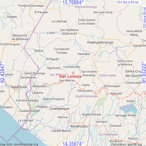
San Lorenzo GPS coordinates[2]
15° 1' 51.132" North, 91° 44' 7.224" West
| Map corner | latitude | longitude |
|---|---|---|
| Upper-left | 15.70884°, | -92.43847° |
| Center: | 15.03087°, | -91.73534° |
| Lower-right: | 14.35074°, | -91.03222° |
| Map W x H: | 151×151 km | = 93.8×93.8mi |
| max Lat: | 17.06606° ⇑31.6% North |
| San Lorenzo: | 15.03087° |
| min Lat: | ⇓68.4% South 13.9274° |
| min Long | San Lorenzo | max Long |
| -92.19298° | -91.73534° | -88.59444° |
| W 12.1%⇐ | ⇒87.9% E |
Elevation
Elevation of San Lorenzo is 2644 m = 8675 ft, and this is 1377 m = 4518 ft above average elevation for this country.
| Max E: |
3254 m = 10676 ft | 2.4% |
| San Lorenzo | 2644 m 8675 ft | |
| Avg. | 1267 m = 4157 ft | |
Min E: |
1 m = 3 ft | 97.6% |
See also: Guatemala elevation on elevation.city.
Geographical zone
San Lorenzo is located in North Torrid zone (between Equator and Tropic of Cancer). Distance of this Northern Tropic circle is 934.6 km =580.7 mi to North.| Distance of | km | miles | from San Lorenzo |
|---|---|---|---|
| North Pole | 8335.8 | 5179.6 | to North |
| Arctic Circle | 5729.9 | 3560.4 | to North |
| Tropic Cancer | 934.6 | 580.7 | to North |
| Equator | 1671.3 | 1038.5 | to South |


Nearby cities:
15 places around San Lorenzo: (largest is in red/bold)
• Cabricán
10.6 km =6.6 mi,  62°
62°
• Cajolá
17.7 km =11 mi,  133°
133°
• Comitancillo
6.7 km =4.2 mi,  346°
346°
• Esquipulas Palo Gordo
13.9 km =8.6 mi,  224°
224°
• Huitán
10.5 km =6.5 mi,  78°
78°
• Palestina de los Altos
11.7 km =7.3 mi,  157°
157°
• Río Blanco
5.5 km =3.4 mi, 81°
• San Antonio Sacatepéquez
7.8 km =4.8 mi,  177°
177°
• San Cristóbal Cucho
14.8 km =9.2 mi,  199°
199°
• San Juan Ostuncalco
18.2 km =11.3 mi, 164°
• San Marcos
9.8 km =6.1 mi, 220°
• San Miguel Sigüilá
19.9 km =12.4 mi,  139°
139°
• San Pedro Sacatepéquez
7.5 km =4.7 mi, 202°
• Sibilia
12.7 km =7.9 mi,  108°
108°
• Tejutla
12.7 km =7.9 mi,  323°
323°
Sources, notices
• [Note1] Compared only with cities in Guatemala existing in our database
• [Src1] Map data: © OpenStreetMap contributors (CC-BY-SA)
• [Src2] Other city data from geonames.org with taken over terms of usage.
• [Src3] Geographical zone / Annual Mean Temperature by Robert A. Rohde @ Wikipedia
