Mabaruma geodata
Mabaruma (Barima-Waini) is a seat of a first-order administrative division; located in Guyana in America/Guyana (GMT-4) time zone. With population of 717 people, there are 12 cities with bigger population in this country. Compared to other cities in Guyana, 100% of cities are located further ↓South; 92.9% of cities are located further →East and 85.7% of cities have lower elevation than Mabaruma. Note1


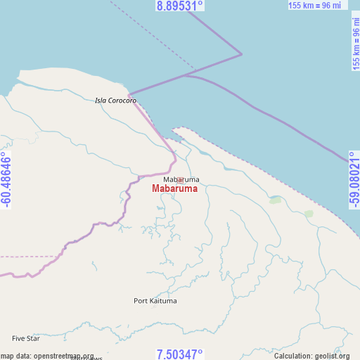
Mabaruma GPS coordinates[2]
8° 12' 0" North, 59° 46' 59.988" West
| Map corner | latitude | longitude |
|---|---|---|
| Upper-left | 8.89531°, | -60.48646° |
| Center: | 8.2°, | -59.78333° |
| Lower-right: | 7.50347°, | -59.08021° |
| Map W x H: | 154.8×154.8 km | = 96.2×96.2mi |
| max Lat: | 8.2° ⇑0% North |
| Mabaruma: | 8.2° |
| min Lat: | ⇓100% South 3.38333° |
| min Long | Mabaruma | max Long |
| -59.8° | -59.78333° | -57.13333° |
| W 7.1%⇐ | ⇒92.9% E |
Elevation
Elevation of Mabaruma is 13 m = 43 ft, and this is 2.3 m = 8 ft below average elevation for this country.
| Max E: |
85 m = 279 ft | 14.3% |
| Avg. | 15.3 m = 50 ft | |
| Mabaruma | 13 m = 43 ft | |
Min E: |
0 m = 0 ft | 85.7% |
See also: Guyana elevation on elevation.city.
Geographical zone
Mabaruma is located in North Torrid zone (between Equator and Tropic of Cancer). Distance of Equator is 911.8 km =566.6 mi to South.| Distance of | km | miles | from Mabaruma |
|---|---|---|---|
| North Pole | 9095.3 | 5651.6 | to North |
| Arctic Circle | 6489.4 | 4032.3 | to North |
| Tropic Cancer | 1694.2 | 1052.7 | to North |
| Equator | 911.8 | 566.6 | to South |


Nearby cities:
13 places around Mabaruma: (largest is in red/bold)
• Anna Regina
174.9 km =108.7 mi,  126°
126°
• Bartica
236.9 km =147.2 mi,  147°
147°
• Fort Wellington
313.4 km =194.7 mi, 129°
• Georgetown
237.2 km =147.4 mi, 130°
• Linden
293.1 km =182.1 mi, 146°
• Mahaica Village
265.6 km =165 mi, 129°
• Mahaicony Village
283.2 km =176 mi, 129°
• Mahdia
333.6 km =207.3 mi,  167°
167°
• New Amsterdam
331.1 km =205.7 mi, 130°
• Parika
212.7 km =132.2 mi,  135°
135°
• Rosignol
327.7 km =203.6 mi, 130°
• Skeldon
389.7 km =242.1 mi, 131°
• Vreed-en-Hoop
233.4 km =145 mi, 131°
Sources, notices
• [Note1] Compared only with cities in Guyana existing in our database
• [Src1] Map data: © OpenStreetMap contributors (CC-BY-SA)
• [Src2] Other city data from geonames.org with taken over terms of usage.
• [Src3] Geographical zone / Annual Mean Temperature by Robert A. Rohde @ Wikipedia
