Skeldon geodata
Skeldon (East Berbice-Corentyne) is a populated place; located in Guyana in America/Guyana (GMT-4) time zone. With population of 5,859 people, there are 5 cities with bigger population in this country. Compared to other cities in Guyana, 85.7% of cities are located further ↑North; 100% of cities are located further ←West and 100% of cities have higher elevation than Skeldon. Note1


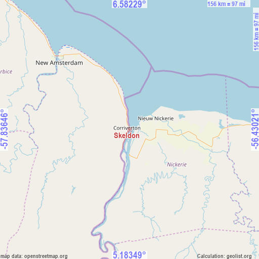
Skeldon GPS coordinates[2]
5° 52' 59.988" North, 57° 7' 59.988" West
| Map corner | latitude | longitude |
|---|---|---|
| Upper-left | 6.58229°, | -57.83646° |
| Center: | 5.88333°, | -57.13333° |
| Lower-right: | 5.18349°, | -56.43021° |
| Map W x H: | 155.5×155.5 km | = 96.6×96.6mi |
| max Lat: | 8.2° ⇑85.7% North |
| Skeldon: | 5.88333° |
| min Lat: | ⇓14.3% South 3.38333° |
| min Long | Skeldon | max Long |
| -59.8° | -57.13333° | -57.13333° |
| W 100%⇐ | ⇒0% E |
Elevation
Elevation of Skeldon is 0 m = 0 ft, and this is 15.3 m = 50 ft below average elevation for this country.
| Max E: |
85 m = 279 ft | 100% |
| Avg. | 15.3 m = 50 ft | |
| Skeldon | 0 m = 0 ft | |
Min E: |
0 m = 0 ft | 0% |
See also: Guyana elevation on elevation.city.
Geographical zone
Skeldon is located in North Torrid zone (between Equator and Tropic of Cancer). Distance of Equator is 654.2 km =406.5 mi to South.| Distance of | km | miles | from Skeldon |
|---|---|---|---|
| North Pole | 9352.9 | 5811.6 | to North |
| Arctic Circle | 6747 | 4192.4 | to North |
| Tropic Cancer | 1951.8 | 1212.8 | to North |
| Equator | 654.2 | 406.5 | to South |


Nearby cities:
14 places around Skeldon: (largest is in red/bold)
• Anna Regina
215.9 km =134.2 mi,  315°
315°
• Bartica
174.6 km =108.5 mi,  289°
289°
• Fort Wellington
76.7 km =47.7 mi, 317°
• Georgetown
152.5 km =94.8 mi,  312°
312°
• Lethem
405.7 km =252.1 mi,  226°
226°
• Linden
130.6 km =81.2 mi,  276°
276°
• Mabaruma
389.7 km =242.1 mi, 311°
• Mahaica Village
124.6 km =77.4 mi, 315°
• Mahaicony Village
107 km =66.5 mi, 316°
• Mahdia
233.5 km =145.1 mi,  252°
252°
• New Amsterdam
58.7 km =36.5 mi, 313°
• Parika
178.2 km =110.7 mi, 306°
• Rosignol
62 km =38.5 mi, 314°
• Vreed-en-Hoop
156.3 km =97.1 mi, 311°
Sources, notices
• [Note1] Compared only with cities in Guyana existing in our database
• [Src1] Map data: © OpenStreetMap contributors (CC-BY-SA)
• [Src2] Other city data from geonames.org with taken over terms of usage.
• [Src3] Geographical zone / Annual Mean Temperature by Robert A. Rohde @ Wikipedia
