Mahdia geodata
Mahdia (Potaro-Siparuni) is a seat of a first-order administrative division; located in Guyana in America/Guyana (GMT-4) time zone. With population of 4,200 people, there are 8 cities with bigger population in this country. Compared to other cities in Guyana, 92.9% of cities are located further ↑North; 85.7% of cities are located further →East and 92.9% of cities have lower elevation than Mahdia. Note1


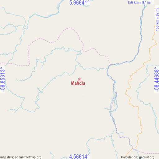
Mahdia GPS coordinates[2]
5° 16' 0.012" North, 59° 9' 0" West
| Map corner | latitude | longitude |
|---|---|---|
| Upper-left | 5.96641°, | -59.85313° |
| Center: | 5.26667°, | -59.15° |
| Lower-right: | 4.56614°, | -58.44688° |
| Map W x H: | 155.7×155.7 km | = 96.7×96.7mi |
| max Lat: | 8.2° ⇑92.9% North |
| Mahdia: | 5.26667° |
| min Lat: | ⇓7.1% South 3.38333° |
| min Long | Mahdia | max Long |
| -59.8° | -59.15° | -57.13333° |
| W 14.3%⇐ | ⇒85.7% E |
Elevation
Elevation of Mahdia is 81 m = 266 ft, and this is 65.7 m = 216 ft above average elevation for this country.
| Max E: |
85 m = 279 ft | 7.1% |
| Mahdia | 81 m 266 ft | |
| Avg. | 15.3 m = 50 ft | |
Min E: |
0 m = 0 ft | 92.9% |
See also: Guyana elevation on elevation.city.
Geographical zone
Mahdia is located in North Torrid zone (between Equator and Tropic of Cancer). Distance of Equator is 585.6 km =363.9 mi to South.| Distance of | km | miles | from Mahdia |
|---|---|---|---|
| North Pole | 9421.5 | 5854.2 | to North |
| Arctic Circle | 6815.6 | 4235 | to North |
| Tropic Cancer | 2020.3 | 1255.4 | to North |
| Equator | 585.6 | 363.9 | to South |


Nearby cities:
14 places around Mahdia: (largest is in red/bold)
• Anna Regina
233.2 km =144.9 mi,  17°
17°
• Bartica
139.7 km =86.8 mi, 24°
• Fort Wellington
211.8 km =131.6 mi,  53°
53°
• Georgetown
203.3 km =126.3 mi,  32°
32°
• Lethem
221.5 km =137.6 mi,  198°
198°
• Linden
124.5 km =77.4 mi, 48°
• Mabaruma
333.6 km =207.3 mi,  347°
347°
• Mahaica Village
208 km =129.2 mi,  40°
40°
• Mahaicony Village
208.2 km =129.4 mi, 45°
• New Amsterdam
211 km =131.1 mi,  58°
58°
• Parika
191.9 km =119.2 mi, 24°
• Rosignol
210.5 km =130.8 mi, 57°
• Skeldon
233.5 km =145.1 mi,  72°
72°
• Vreed-en-Hoop
201.2 km =125 mi, 31°
Sources, notices
• [Note1] Compared only with cities in Guyana existing in our database
• [Src1] Map data: © OpenStreetMap contributors (CC-BY-SA)
• [Src2] Other city data from geonames.org with taken over terms of usage.
• [Src3] Geographical zone / Annual Mean Temperature by Robert A. Rohde @ Wikipedia
