Mahaica Village geodata
Mahaica Village (Demerara-Mahaica) is a populated place; located in Guyana in America/Guyana (GMT-4) time zone. With population of 4,867 people, there are 7 cities with bigger population in this country. Compared to other cities in Guyana, 64.3% of cities are located further ↓South; 64.3% of cities are located further ←West and 57.1% of cities have lower elevation than Mahaica Village. Note1


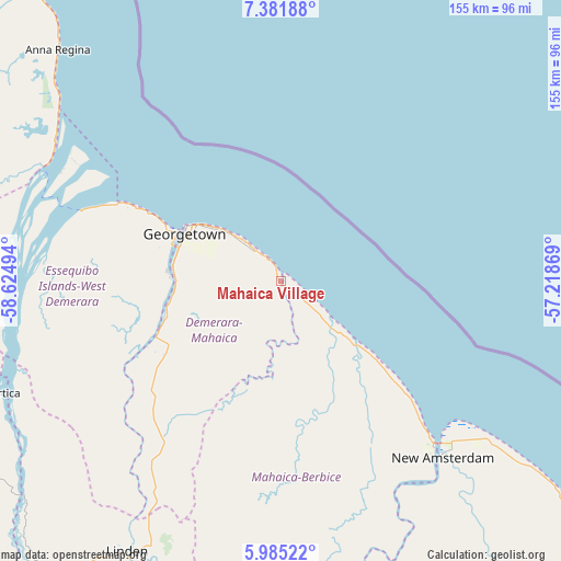
Mahaica Village GPS coordinates[2]
6° 41' 2.58" North, 57° 55' 18.516" West
| Map corner | latitude | longitude |
|---|---|---|
| Upper-left | 7.38188°, | -58.62494° |
| Center: | 6.68405°, | -57.92181° |
| Lower-right: | 5.98522°, | -57.21869° |
| Map W x H: | 155.3×155.3 km | = 96.5×96.5mi |
| max Lat: | 8.2° ⇑35.7% North |
| Mahaica Village: | 6.68405° |
| min Lat: | ⇓64.3% South 3.38333° |
| min Long | Mahaica Village | max Long |
| -59.8° | -57.92181° | -57.13333° |
| W 64.3%⇐ | ⇒35.7% E |
Elevation
Elevation of Mahaica Village is 5 m = 16 ft, and this is 10.3 m = 34 ft below average elevation for this country.
| Max E: |
85 m = 279 ft | 42.9% |
| Avg. | 15.3 m = 50 ft | |
| Mahaica Village | 5 m = 16 ft | |
Min E: |
0 m = 0 ft | 57.1% |
See also: Guyana elevation on elevation.city.
Geographical zone
Mahaica Village is located in North Torrid zone (between Equator and Tropic of Cancer). Distance of Equator is 743.2 km =461.8 mi to South.| Distance of | km | miles | from Mahaica Village |
|---|---|---|---|
| North Pole | 9263.9 | 5756.3 | to North |
| Arctic Circle | 6658 | 4137.1 | to North |
| Tropic Cancer | 1862.7 | 1157.4 | to North |
| Equator | 743.2 | 461.8 | to South |


Nearby cities:
14 places around Mahaica Village: (largest is in red/bold)
• Anna Regina
91.4 km =56.8 mi,  314°
314°
• Bartica
83.2 km =51.7 mi,  248°
248°
• Fort Wellington
47.9 km =29.8 mi,  132°
132°
• Georgetown
29 km =18 mi,  297°
297°
• Lethem
421.8 km =262.1 mi,  209°
209°
• Linden
86.4 km =53.7 mi, 209°
• Mabaruma
265.6 km =165 mi, 309°
• Mahaicony Village
17.6 km =10.9 mi, 132°
• Mahdia
208 km =129.2 mi,  220°
220°
• New Amsterdam
66 km =41 mi,  137°
137°
• Parika
58.6 km =36.4 mi,  286°
286°
• Rosignol
62.6 km =38.9 mi, 137°
• Skeldon
124.6 km =77.4 mi, 135°
• Vreed-en-Hoop
33.5 km =20.8 mi, 294°
Sources, notices
• [Note1] Compared only with cities in Guyana existing in our database
• [Src1] Map data: © OpenStreetMap contributors (CC-BY-SA)
• [Src2] Other city data from geonames.org with taken over terms of usage.
• [Src3] Geographical zone / Annual Mean Temperature by Robert A. Rohde @ Wikipedia
