Talwāra geodata
Talwāra (Punjab) is a populated place; located in India in Asia/Kolkata (GMT+5.5) time zone. With population of 24,752 people, there are 1721 cities with bigger population in this country. Compared to other cities in India, 97.7% of cities are located further ↓South; 74.8% of cities are located further →East and 72.5% of cities have lower elevation than Talwāra. Note1


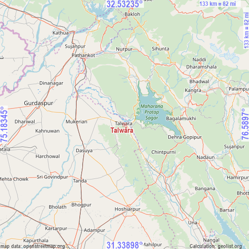
Talwāra GPS coordinates[2]
31° 56' 15.36" North, 75° 53' 11.652" East
| Map corner | latitude | longitude |
|---|---|---|
| Upper-left | 32.53235°, | 75.18345° |
| Center: | 31.9376°, | 75.88657° |
| Lower-right: | 31.33898°, | 76.5897° |
| Map W x H: | 132.7×132.7 km | = 82.5×82.5mi |
| max Lat: | 34.9274° ⇑2.3% North |
| Talwāra: | 31.9376° |
| min Lat: | ⇓97.7% South 8.09008° |
| min Long | Talwāra | max Long |
| 68.82655° | 75.88657° | 96.81° |
| W 25.2%⇐ | ⇒74.8% E |
Elevation
Elevation of Talwāra is 356 m = 1168 ft, and this is 60.4 m = 198 ft above average elevation for this country.
| Max E: |
3681 m = 12077 ft | 27.5% |
| Talwāra | 356 m 1168 ft | |
| Avg. | 295.6 m = 970 ft | |
Min E: |
1 m = 3 ft | 72.5% |
See also: India elevation on elevation.city.
Geographical zone
Talwāra is located in North temperate zone (between Tropic of Cancer and the Arctic Circle). Distance of this Northern Tropic circle is 945.2 km =587.3 mi to South.| Distance of | km | miles | from Talwāra |
|---|---|---|---|
| North Pole | 6455.9 | 4011.5 | to North |
| Arctic Circle | 3850 | 2392.3 | to North |
| Tropic Cancer | 945.2 | 587.3 | to South |
| Equator | 3551.1 | 2206.6 | to South |


Nearby cities:
15 places around Talwāra: (largest is in red/bold)
• Dasūya
25.8 km =16 mi,  238°
238°
• Daulatpur
19.3 km =12 mi,  149°
149°
• Daulatpur
37.7 km =23.4 mi,  69°
69°
• Dera Gopipur
32 km =19.9 mi,  101°
101°
• Gagret
35.2 km =21.9 mi, 151°
• Garhdiwāla
25.1 km =15.6 mi,  209°
209°
• Hariāna
33.9 km =21.1 mi,  187°
187°
• Hājipur
13.2 km =8.2 mi,  289°
289°
• Jawāla Mukhi
41.5 km =25.8 mi, 99°
• Kotla
37.4 km =23.2 mi,  21°
21°
• Kāngar
39.4 km =24.5 mi,  64°
64°
• Mukeriān
25.5 km =15.8 mi,  274°
274°
• Nagrota
23.4 km =14.5 mi, 55°
• Pathānkot
43.5 km =27 mi,  329°
329°
• Yol
38.6 km =24 mi,  49°
49°
Sources, notices
• [Note1] Compared only with cities in India existing in our database
• [Src1] Map data: © OpenStreetMap contributors (CC-BY-SA)
• [Src2] Other city data from geonames.org with taken over terms of usage.
• [Src3] Geographical zone / Annual Mean Temperature by Robert A. Rohde @ Wikipedia
