Sukma geodata
Sukma (Chhattisgarh) is a seat of a second-order administrative division; located in India in Asia/Kolkata (GMT+5.5) time zone. In our database, there are 3475 cities with bigger population. Compared to other cities in India, 70.8% of cities are located further ↑North; 75.3% of cities are located further ←West and 51.1% of cities have lower elevation than Sukma. Note1


Sukma GPS coordinates[2]
18° 23' 24.504" North, 81° 39' 33.876" East
| Map corner | latitude | longitude |
|---|---|---|
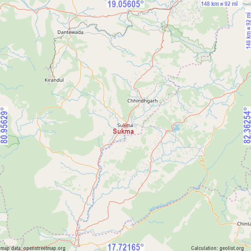
| Upper-left | 19.05605°, | 80.95629° |
| Center: | 18.39014°, | 81.65941° |
| Lower-right: | 17.72165°, | 82.36254° |
| Map W x H: | 148.4×148.4 km | = 92.2×92.2mi |
| max Lat: | 34.9274° ⇑70.8% North |
| Sukma: | 18.39014° |
| min Lat: | ⇓29.2% South 8.09008° |
| min Long | Sukma | max Long |
| 68.82655° | 81.65941° | 96.81° |
| W 75.3%⇐ | ⇒24.7% E |
Elevation
Elevation of Sukma is 208 m = 682 ft, and this is 87.6 m = 287 ft below average elevation for this country.
| Max E: |
3681 m = 12077 ft | 48.9% |
| Avg. | 295.6 m = 970 ft | |
| Sukma | 208 m = 682 ft | |
Min E: |
1 m = 3 ft | 51.1% |
See also: India elevation on elevation.city.
Geographical zone
Sukma is located in North Torrid zone (between Equator and Tropic of Cancer). Distance of this Northern Tropic circle is 561.1 km =348.7 mi to North.| Distance of | km | miles | from Sukma |
|---|---|---|---|
| North Pole | 7962.3 | 4947.5 | to North |
| Arctic Circle | 5356.4 | 3328.3 | to North |
| Tropic Cancer | 561.1 | 348.7 | to North |
| Equator | 2044.8 | 1270.6 | to South |


Nearby cities:
15 places around Sukma: (largest is in red/bold)
• Balimila
49.6 km =30.8 mi,  108°
108°
• Bhadrāchalam
114.4 km =71.1 mi,  225°
225°
• Chittarkonda
55.9 km =34.7 mi,  121°
121°
• Gokavaram
127.5 km =79.2 mi,  170°
170°
• Gīdam
70.5 km =43.8 mi,  337°
337°
• Jagdalpur
85.8 km =53.3 mi,  26°
26°
• Jeypore
109.2 km =67.9 mi,  61°
61°
• Kirandul
50.4 km =31.3 mi,  302°
302°
• Korāput
120.3 km =74.8 mi,  67°
67°
• Kotapārh
109.2 km =67.9 mi,  39°
39°
• Malakanagiri
24.3 km =15.1 mi,  96°
96°
• Manuguru
105.8 km =65.7 mi,  244°
244°
• Narsīpatnam
128.9 km =80.1 mi,  128°
128°
• Polavaram
127.1 km =79 mi,  180°
180°
• Rampachodavaram
106.3 km =66.1 mi, 173°
Sources, notices
• [Note1] Compared only with cities in India existing in our database
• [Src1] Map data: © OpenStreetMap contributors (CC-BY-SA)
• [Src2] Other city data from geonames.org with taken over terms of usage.
• [Src3] Geographical zone / Annual Mean Temperature by Robert A. Rohde @ Wikipedia
