Saiha geodata
Saiha (Mizoram) is a populated place; located in India in Asia/Kolkata (GMT+5.5) time zone. With population of 22,654 people, there are 1859 cities with bigger population in this country. Compared to other cities in India, 53.2% of cities are located further ↑North; 97.8% of cities are located further ←West and 96.4% of cities have lower elevation than Saiha. Note1


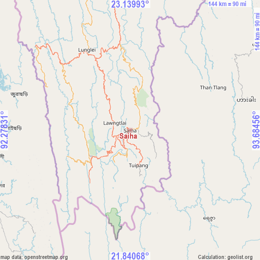
Saiha GPS coordinates[2]
22° 29' 30.588" North, 92° 58' 53.148" East
| Map corner | latitude | longitude |
|---|---|---|
| Upper-left | 23.13993°, | 92.27831° |
| Center: | 22.49183°, | 92.98143° |
| Lower-right: | 21.84068°, | 93.68456° |
| Map W x H: | 144.5×144.5 km | = 89.8×89.8mi |
| max Lat: | 34.9274° ⇑53.2% North |
| Saiha: | 22.49183° |
| min Lat: | ⇓46.8% South 8.09008° |
| min Long | Saiha | max Long |
| 68.82655° | 92.98143° | 96.81° |
| W 97.8%⇐ | ⇒2.2% E |
Elevation
Elevation of Saiha is 1045 m = 3428 ft, and this is 749.4 m = 2459 ft above average elevation for this country.
| Max E: |
3681 m = 12077 ft | 3.6% |
| Saiha | 1045 m 3428 ft | |
| Avg. | 295.6 m = 970 ft | |
Min E: |
1 m = 3 ft | 96.4% |
See also: India elevation on elevation.city.
Geographical zone
Saiha is located in North Torrid zone (between Equator and Tropic of Cancer). Distance of this Northern Tropic circle is 105.1 km =65.3 mi to North.| Distance of | km | miles | from Saiha |
|---|---|---|---|
| North Pole | 7506.2 | 4664.1 | to North |
| Arctic Circle | 4900.3 | 3044.9 | to North |
| Tropic Cancer | 105.1 | 65.3 | to North |
| Equator | 2500.9 | 1554 | to South |


Nearby cities:
15 places around Saiha: (largest is in red/bold)
• Aizawl
140.2 km =87.1 mi,  348°
348°
• Amarpur
177.6 km =110.4 mi,  310°
310°
• Belonia
177.8 km =110.5 mi,  298°
298°
• Darlawn
169.3 km =105.2 mi,  358°
358°
• Khawhai
99.7 km =62 mi,  8°
8°
• Kolasib
195 km =121.2 mi, 350°
• Lunglei
50.9 km =31.6 mi,  331°
331°
• Mamit
167.3 km =104 mi,  342°
342°
• North Vanlaiphai
71.7 km =44.6 mi, 6°
• Sabrūm
140.8 km =87.5 mi,  293°
293°
• Sairang
150.4 km =93.5 mi, 347°
• Serchhīp
90.2 km =56 mi, 351°
• Sāitlaw
169.7 km =105.4 mi, 345°
• Thenzawl
94.7 km =58.8 mi, 345°
• Udaipur
192.1 km =119.4 mi, 307°
Sources, notices
• [Note1] Compared only with cities in India existing in our database
• [Src1] Map data: © OpenStreetMap contributors (CC-BY-SA)
• [Src2] Other city data from geonames.org with taken over terms of usage.
• [Src3] Geographical zone / Annual Mean Temperature by Robert A. Rohde @ Wikipedia
