Rājmahal geodata
Rājmahal (West Bengal) is a populated place; located in India in Asia/Kolkata (GMT+5.5) time zone. With population of 19,711 people, there are 2060 cities with bigger population in this country. Compared to other cities in India, 63.8% of cities are located further ↓South; 90.8% of cities are located further ←West and 83.9% of cities have higher elevation than Rājmahal. Note1


Rājmahal GPS coordinates[2]
25° 3' 10.908" North, 87° 49' 49.728" East
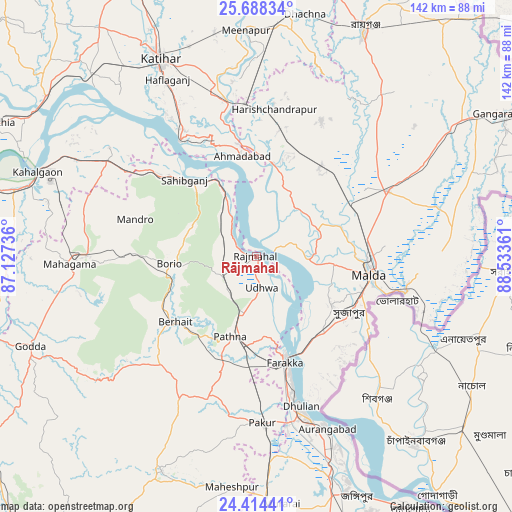
| Map corner | latitude | longitude |
|---|---|---|
| Upper-left | 25.68834°, | 87.12736° |
| Center: | 25.05303°, | 87.83048° |
| Lower-right: | 24.41441°, | 88.53361° |
| Map W x H: | 141.6×141.6 km | = 88×88mi |
| max Lat: | 34.9274° ⇑36.2% North |
| Rājmahal: | 25.05303° |
| min Lat: | ⇓63.8% South 8.09008° |
| min Long | Rājmahal | max Long |
| 68.82655° | 87.83048° | 96.81° |
| W 90.8%⇐ | ⇒9.2% E |
Elevation
Elevation of Rājmahal is 34 m = 112 ft, and this is 261.6 m = 858 ft below average elevation for this country.
| Max E: |
3681 m = 12077 ft | 83.9% |
| Avg. | 295.6 m = 970 ft | |
| Rājmahal | 34 m = 112 ft | |
Min E: |
1 m = 3 ft | 16.1% |
See also: India elevation on elevation.city.
Geographical zone
Rājmahal is located in North temperate zone (between Tropic of Cancer and the Arctic Circle). Distance of this Northern Tropic circle is 179.7 km =111.7 mi to South.| Distance of | km | miles | from Rājmahal |
|---|---|---|---|
| North Pole | 7221.4 | 4487.2 | to North |
| Arctic Circle | 4615.5 | 2867.9 | to North |
| Tropic Cancer | 179.7 | 111.7 | to South |
| Equator | 2785.6 | 1730.9 | to South |


Nearby cities:
15 places around Rājmahal: (largest is in red/bold)
• Colgong
64.5 km =40.1 mi,  291°
291°
• Daulatpur
58.7 km =36.5 mi,  58°
58°
• Dhuliān
43.2 km =26.8 mi,  163°
163°
• Farakka
27.2 km =16.9 mi,  165°
165°
• Ghoga
70.2 km =43.6 mi, 285°
• Godda
67.2 km =41.8 mi,  248°
248°
• Ingrāj Bāzār
32.2 km =20 mi,  99°
99°
• Jangipur
69.4 km =43.1 mi, 159°
• Katihar
60 km =37.3 mi,  334°
334°
• Manihāri
38.2 km =23.7 mi, 326°
• Paikpara
32.7 km =20.3 mi, 163°
• Pakur
46 km =28.6 mi,  178°
178°
• Raghunāthpur
66.4 km =41.3 mi,  7°
7°
• Rāiganj
68.9 km =42.8 mi,  25°
25°
• Sāhibganj
29 km =18 mi,  317°
317°
Sources, notices
• [Note1] Compared only with cities in India existing in our database
• [Src1] Map data: © OpenStreetMap contributors (CC-BY-SA)
• [Src2] Other city data from geonames.org with taken over terms of usage.
• [Src3] Geographical zone / Annual Mean Temperature by Robert A. Rohde @ Wikipedia
