Phalodi geodata
Phalodi (Rajasthan) is a populated place; located in India in Asia/Kolkata (GMT+5.5) time zone. With population of 46,788 people, there are 945 cities with bigger population in this country. Compared to other cities in India, 79.4% of cities are located further ↓South; 97% of cities are located further →East and 55.6% of cities have lower elevation than Phalodi. Note1


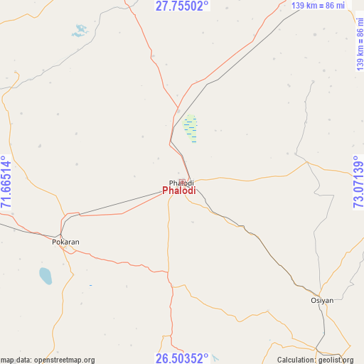
Phalodi GPS coordinates[2]
27° 7' 51.672" North, 72° 22' 5.736" East
| Map corner | latitude | longitude |
|---|---|---|
| Upper-left | 27.75502°, | 71.66514° |
| Center: | 27.13102°, | 72.36826° |
| Lower-right: | 26.50352°, | 73.07139° |
| Map W x H: | 139.2×139.2 km | = 86.5×86.5mi |
| max Lat: | 34.9274° ⇑20.6% North |
| Phalodi: | 27.13102° |
| min Lat: | ⇓79.4% South 8.09008° |
| min Long | Phalodi | max Long |
| 68.82655° | 72.36826° | 96.81° |
| W 3%⇐ | ⇒97% E |
Elevation
Elevation of Phalodi is 228 m = 748 ft, and this is 67.6 m = 222 ft below average elevation for this country.
| Max E: |
3681 m = 12077 ft | 44.4% |
| Avg. | 295.6 m = 970 ft | |
| Phalodi | 228 m = 748 ft | |
Min E: |
1 m = 3 ft | 55.6% |
See also: Phalodi elevation on elevation.city.
Geographical zone
Phalodi is located in North temperate zone (between Tropic of Cancer and the Arctic Circle). Distance of this Northern Tropic circle is 410.8 km =255.3 mi to South.| Distance of | km | miles | from Phalodi |
|---|---|---|---|
| North Pole | 6990.4 | 4343.6 | to North |
| Arctic Circle | 4384.5 | 2724.4 | to North |
| Tropic Cancer | 410.8 | 255.3 | to South |
| Equator | 3016.7 | 1874.5 | to South |


Nearby cities:
15 places around Phalodi: (largest is in red/bold)
• Basni
126.4 km =78.5 mi,  87°
87°
• Bālotra
145 km =90.1 mi,  185°
185°
• Bīkaner
135.7 km =84.3 mi,  43°
43°
• Deshnoke
121.5 km =75.5 mi,  52°
52°
• Jaisalmer
147 km =91.3 mi,  260°
260°
• Jodhpur
114.9 km =71.4 mi,  146°
146°
• Kuchera
159.5 km =99.1 mi,  95°
95°
• Mūndwa
144.2 km =89.6 mi, 93°
• Napāsar
149.3 km =92.8 mi, 51°
• Nokha
119 km =73.9 mi,  66°
66°
• Nāgaur
135.3 km =84.1 mi, 86°
• Pokaran
50.5 km =31.4 mi,  242°
242°
• Pīpār
143.2 km =89 mi,  125°
125°
• Samdari
148 km =92 mi,  171°
171°
• Siwāna
164.6 km =102.3 mi,  178°
178°
Sources, notices
• [Note1] Compared only with cities in India existing in our database
• [Src1] Map data: © OpenStreetMap contributors (CC-BY-SA)
• [Src2] Other city data from geonames.org with taken over terms of usage.
• [Src3] Geographical zone / Annual Mean Temperature by Robert A. Rohde @ Wikipedia
