Naraini geodata
Naraini (Madhya Pradesh) is a populated place; located in India in Asia/Kolkata (GMT+5.5) time zone. With population of 15,077 people, there are 2452 cities with bigger population in this country. Compared to other cities in India, 64.4% of cities are located further ↓South; 70.9% of cities are located further ←West and 60.6% of cities have higher elevation than Naraini. Note1


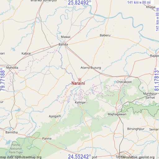
Naraini GPS coordinates[2]
25° 11' 25.188" North, 80° 28' 30" East
| Map corner | latitude | longitude |
|---|---|---|
| Upper-left | 25.82492°, | 79.77188° |
| Center: | 25.19033°, | 80.475° |
| Lower-right: | 24.55242°, | 81.17813° |
| Map W x H: | 141.5×141.5 km | = 87.9×87.9mi |
| max Lat: | 34.9274° ⇑35.6% North |
| Naraini: | 25.19033° |
| min Lat: | ⇓64.4% South 8.09008° |
| min Long | Naraini | max Long |
| 68.82655° | 80.475° | 96.81° |
| W 70.9%⇐ | ⇒29.1% E |
Elevation
Elevation of Naraini is 145 m = 476 ft, and this is 150.6 m = 494 ft below average elevation for this country.
| Max E: |
3681 m = 12077 ft | 60.6% |
| Avg. | 295.6 m = 970 ft | |
| Naraini | 145 m = 476 ft | |
Min E: |
1 m = 3 ft | 39.4% |
See also: India elevation on elevation.city.
Geographical zone
Naraini is located in North temperate zone (between Tropic of Cancer and the Arctic Circle). Distance of this Northern Tropic circle is 195 km =121.2 mi to South.| Distance of | km | miles | from Naraini |
|---|---|---|---|
| North Pole | 7206.2 | 4477.7 | to North |
| Arctic Circle | 4600.3 | 2858.5 | to North |
| Tropic Cancer | 195 | 121.2 | to South |
| Equator | 2800.9 | 1740.4 | to South |


Nearby cities:
15 places around Naraini: (largest is in red/bold)
• Ajaigarh
39 km =24.2 mi,  213°
213°
• Atarra
14.4 km =8.9 mi,  42°
42°
• Baberu
45.9 km =28.5 mi,  30°
30°
• Bisenda Buzurg
27.8 km =17.3 mi, 31°
• Bānda
34.9 km =21.7 mi,  336°
336°
• Chandla
31.3 km =19.4 mi,  245°
245°
• Kabrāi
53.3 km =33.1 mi,  296°
296°
• Kothi
57.4 km =35.7 mi,  147°
147°
• Mahobā
61.3 km =38.1 mi,  280°
280°
• Mataundh
42.1 km =26.2 mi,  310°
310°
• Maudaha
65.7 km =40.8 mi,  326°
326°
• Mānikpur
64.5 km =40.1 mi,  102°
102°
• Oran
33.4 km =20.8 mi,  53°
53°
• Panna
59.7 km =37.1 mi, 209°
• Tindwāri
47.8 km =29.7 mi,  6°
6°
Sources, notices
• [Note1] Compared only with cities in India existing in our database
• [Src1] Map data: © OpenStreetMap contributors (CC-BY-SA)
• [Src2] Other city data from geonames.org with taken over terms of usage.
• [Src3] Geographical zone / Annual Mean Temperature by Robert A. Rohde @ Wikipedia
