Naliya geodata
Naliya (Gujarat) is a populated place; located in India in Asia/Kolkata (GMT+5.5) time zone. With population of 10,587 people, there are 2885 cities with bigger population in this country. Compared to other cities in India, 53.4% of cities are located further ↓South; 100% of cities are located further →East and 86.4% of cities have higher elevation than Naliya. Note1


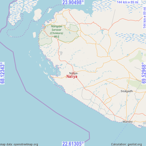
Naliya GPS coordinates[2]
23° 15' 38.088" North, 68° 49' 35.58" East
| Map corner | latitude | longitude |
|---|---|---|
| Upper-left | 23.90498°, | 68.12343° |
| Center: | 23.26058°, | 68.82655° |
| Lower-right: | 22.61305°, | 69.52968° |
| Map W x H: | 143.6×143.7 km | = 89.2×89.3mi |
| max Lat: | 34.9274° ⇑46.6% North |
| Naliya: | 23.26058° |
| min Lat: | ⇓53.4% South 8.09008° |
| min Long | Naliya | max Long |
| 68.82655° | 68.82655° | 96.81° |
| W 0%⇐ | ⇒100% E |
Elevation
Elevation of Naliya is 26 m = 85 ft, and this is 269.6 m = 885 ft below average elevation for this country.
| Max E: |
3681 m = 12077 ft | 86.4% |
| Avg. | 295.6 m = 970 ft | |
| Naliya | 26 m = 85 ft | |
Min E: |
1 m = 3 ft | 13.6% |
See also: India elevation on elevation.city.
Geographical zone
Naliya is located in North Torrid zone (between Equator and Tropic of Cancer). Distance of this Northern Tropic circle is 19.6 km =12.2 mi to North.| Distance of | km | miles | from Naliya |
|---|---|---|---|
| North Pole | 7420.7 | 4611 | to North |
| Arctic Circle | 4814.8 | 2991.8 | to North |
| Tropic Cancer | 19.6 | 12.2 | to North |
| Equator | 2586.3 | 1607.1 | to South |


Nearby cities:
15 places around Naliya: (largest is in red/bold)
• Anjār
123.8 km =76.9 mi,  97°
97°
• Bedi
150.6 km =93.6 mi,  124°
124°
• Bhuj
86.1 km =53.5 mi,  90°
90°
• Dayapar
42.2 km =26.2 mi,  10°
10°
• Dwārka
114.5 km =71.1 mi,  172°
172°
• Gāndhīdhām
135 km =83.9 mi, 98°
• Jamnagar
154.3 km =95.9 mi, 124°
• Khambhāliya
144.4 km =89.7 mi,  144°
144°
• Kāndla
144.4 km =89.7 mi, 100°
• Mundra
102.9 km =63.9 mi, 117°
• Māndvi
71.8 km =44.6 mi,  131°
131°
• Okha
91.6 km =56.9 mi,  164°
164°
• Roha
45.9 km =28.5 mi, 98°
• Salāya
132.3 km =82.2 mi, 142°
• Sikka
138.9 km =86.3 mi, 131°
Sources, notices
• [Note1] Compared only with cities in India existing in our database
• [Src1] Map data: © OpenStreetMap contributors (CC-BY-SA)
• [Src2] Other city data from geonames.org with taken over terms of usage.
• [Src3] Geographical zone / Annual Mean Temperature by Robert A. Rohde @ Wikipedia
