Dausa geodata
Dausa (Rajasthan) is a populated place; located in India in Asia/Kolkata (GMT+5.5) time zone. With population of 73,034 people, there are 602 cities with bigger population in this country. Compared to other cities in India, 77.6% of cities are located further ↓South; 70.1% of cities are located further →East and 72.4% of cities have lower elevation than Dausa. Note1


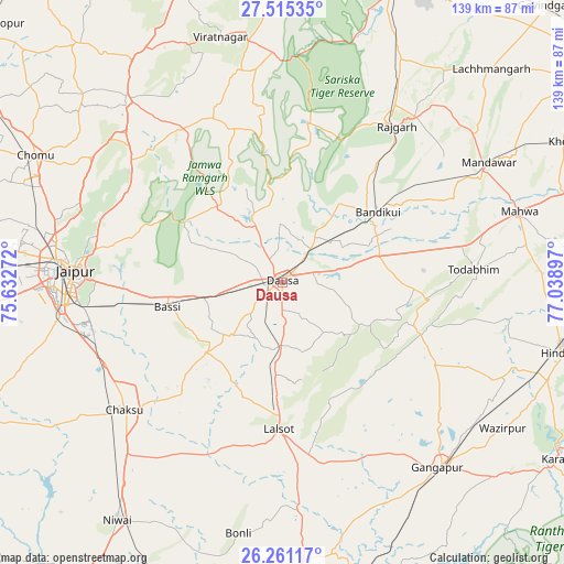
Dausa GPS coordinates[2]
26° 53' 24" North, 76° 20' 9.024" East
| Map corner | latitude | longitude |
|---|---|---|
| Upper-left | 27.51535°, | 75.63272° |
| Center: | 26.89°, | 76.33584° |
| Lower-right: | 26.26117°, | 77.03897° |
| Map W x H: | 139.5×139.5 km | = 86.7×86.7mi |
| max Lat: | 34.9274° ⇑22.4% North |
| Dausa: | 26.89° |
| min Lat: | ⇓77.6% South 8.09008° |
| min Long | Dausa | max Long |
| 68.82655° | 76.33584° | 96.81° |
| W 29.9%⇐ | ⇒70.1% E |
Elevation
Elevation of Dausa is 353 m = 1158 ft, and this is 57.4 m = 188 ft above average elevation for this country.
| Max E: |
3681 m = 12077 ft | 27.6% |
| Dausa | 353 m 1158 ft | |
| Avg. | 295.6 m = 970 ft | |
Min E: |
1 m = 3 ft | 72.4% |
See also: Dausa elevation on elevation.city.
Geographical zone
Dausa is located in North temperate zone (between Tropic of Cancer and the Arctic Circle). Distance of this Northern Tropic circle is 384 km =238.6 mi to South.| Distance of | km | miles | from Dausa |
|---|---|---|---|
| North Pole | 7017.2 | 4360.3 | to North |
| Arctic Circle | 4411.3 | 2741.1 | to North |
| Tropic Cancer | 384 | 238.6 | to South |
| Equator | 2989.9 | 1857.8 | to South |


Nearby cities:
15 places around Dausa: (largest is in red/bold)
• Abhaneri
29.9 km =18.6 mi,  64°
64°
• Basi
29.2 km =18.1 mi,  257°
257°
• Baswa
37.9 km =23.5 mi,  40°
40°
• Bāndīkūi
29.6 km =18.4 mi,  52°
52°
• Chaksu
49.9 km =31 mi,  230°
230°
• Gangāpur
59.9 km =37.2 mi,  140°
140°
• Hindaun
71.5 km =44.4 mi,  104°
104°
• Jaipur
54.4 km =33.8 mi,  273°
273°
• Lālsot
36.8 km =22.9 mi,  181°
181°
• Mahwah
61.5 km =38.2 mi,  73°
73°
• Manoharpur
59.3 km =36.8 mi,  319°
319°
• Niwai
72 km =44.7 mi,  215°
215°
• Rājgarh
47.9 km =29.8 mi, 36°
• Shāhpura
67 km =41.6 mi,  326°
326°
• Todabhim
47.8 km =29.7 mi,  86°
86°
Sources, notices
• [Note1] Compared only with cities in India existing in our database
• [Src1] Map data: © OpenStreetMap contributors (CC-BY-SA)
• [Src2] Other city data from geonames.org with taken over terms of usage.
• [Src3] Geographical zone / Annual Mean Temperature by Robert A. Rohde @ Wikipedia
