Bhūm geodata
Bhūm (Maharashtra) is a populated place; located in India in Asia/Kolkata (GMT+5.5) time zone. With population of 18,543 people, there are 2164 cities with bigger population in this country. Compared to other cities in India, 70.5% of cities are located further ↑North; 76.9% of cities are located further →East and 88% of cities have lower elevation than Bhūm. Note1


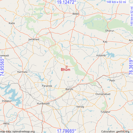
Bhūm GPS coordinates[2]
18° 27' 32.688" North, 75° 39' 31.572" East
| Map corner | latitude | longitude |
|---|---|---|
| Upper-left | 19.12472°, | 74.95565° |
| Center: | 18.45908°, | 75.65877° |
| Lower-right: | 17.79085°, | 76.3619° |
| Map W x H: | 148.3×148.3 km | = 92.1×92.1mi |
| max Lat: | 34.9274° ⇑70.5% North |
| Bhūm: | 18.45908° |
| min Lat: | ⇓29.5% South 8.09008° |
| min Long | Bhūm | max Long |
| 68.82655° | 75.65877° | 96.81° |
| W 23.1%⇐ | ⇒76.9% E |
Elevation
Elevation of Bhūm is 592 m = 1942 ft, and this is 296.4 m = 972 ft above average elevation for this country.
| Max E: |
3681 m = 12077 ft | 12% |
| Bhūm | 592 m 1942 ft | |
| Avg. | 295.6 m = 970 ft | |
Min E: |
1 m = 3 ft | 88% |
See also: India elevation on elevation.city.
Geographical zone
Bhūm is located in North Torrid zone (between Equator and Tropic of Cancer). Distance of this Northern Tropic circle is 553.5 km =343.9 mi to North.| Distance of | km | miles | from Bhūm |
|---|---|---|---|
| North Pole | 7954.6 | 4942.8 | to North |
| Arctic Circle | 5348.7 | 3323.5 | to North |
| Tropic Cancer | 553.5 | 343.9 | to North |
| Equator | 2052.5 | 1275.4 | to South |


Nearby cities:
15 places around Bhūm: (largest is in red/bold)
• Ambājogāi
82.5 km =51.3 mi,  68°
68°
• Ausa
91.8 km =57 mi,  104°
104°
• Beed
59.8 km =37.2 mi,  9°
9°
• Bhigvan
95.7 km =59.5 mi,  259°
259°
• Bārsi
25.2 km =15.7 mi,  171°
171°
• Dhārūr
62.2 km =38.6 mi,  49°
49°
• Gevrai
90 km =55.9 mi, 6°
• Karmāla
49.4 km =30.7 mi, 263°
• Kurduvādi
48.1 km =29.9 mi,  212°
212°
• Kāti
60.4 km =37.5 mi,  156°
156°
• Osmanabad
50.6 km =31.4 mi,  127°
127°
• Pandharpur
93.4 km =58 mi,  201°
201°
• Pāthardi
94.3 km =58.6 mi,  327°
327°
• Solāpur
91.5 km =56.9 mi, 163°
• Tuljāpur
66.3 km =41.2 mi,  139°
139°
Sources, notices
• [Note1] Compared only with cities in India existing in our database
• [Src1] Map data: © OpenStreetMap contributors (CC-BY-SA)
• [Src2] Other city data from geonames.org with taken over terms of usage.
• [Src3] Geographical zone / Annual Mean Temperature by Robert A. Rohde @ Wikipedia
