Bhiwāni geodata
Bhiwāni (Haryana) is a populated place; located in India in Asia/Kolkata (GMT+5.5) time zone. With population of 190,855 people, there are 223 cities with bigger population in this country. Compared to other cities in India, 88.3% of cities are located further ↓South; 72.3% of cities are located further →East and 54.2% of cities have lower elevation than Bhiwāni. Note1


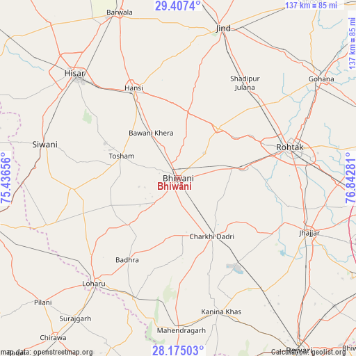
Bhiwāni GPS coordinates[2]
28° 47' 34.944" North, 76° 8' 22.848" East
| Map corner | latitude | longitude |
|---|---|---|
| Upper-left | 29.4074°, | 75.43656° |
| Center: | 28.79304°, | 76.13968° |
| Lower-right: | 28.17503°, | 76.84281° |
| Map W x H: | 137×137 km | = 85.1×85.1mi |
| max Lat: | 34.9274° ⇑11.7% North |
| Bhiwāni: | 28.79304° |
| min Lat: | ⇓88.3% South 8.09008° |
| min Long | Bhiwāni | max Long |
| 68.82655° | 76.13968° | 96.81° |
| W 27.7%⇐ | ⇒72.3% E |
Elevation
Elevation of Bhiwāni is 223 m = 732 ft, and this is 72.6 m = 238 ft below average elevation for this country.
| Max E: |
3681 m = 12077 ft | 45.8% |
| Avg. | 295.6 m = 970 ft | |
| Bhiwāni | 223 m = 732 ft | |
Min E: |
1 m = 3 ft | 54.2% |
See also: Bhiwāni elevation on elevation.city.
Geographical zone
Bhiwāni is located in North temperate zone (between Tropic of Cancer and the Arctic Circle). Distance of this Northern Tropic circle is 595.6 km =370.1 mi to South.| Distance of | km | miles | from Bhiwāni |
|---|---|---|---|
| North Pole | 6805.6 | 4228.8 | to North |
| Arctic Circle | 4199.7 | 2609.6 | to North |
| Tropic Cancer | 595.6 | 370.1 | to South |
| Equator | 3201.5 | 1989.3 | to South |


Nearby cities:
15 places around Bhiwāni: (largest is in red/bold)
• Beri Khās
43.8 km =27.2 mi,  103°
103°
• Charkhi Dādri
25.8 km =16 mi,  150°
150°
• Hisar
57 km =35.4 mi,  314°
314°
• Hānsi
38.5 km =23.9 mi,  333°
333°
• Jhajjar
54.5 km =33.9 mi,  112°
112°
• Kalānaur
25.2 km =15.7 mi,  81°
81°
• Kanīna Khās
54 km =33.6 mi,  161°
161°
• Lohāru
51.8 km =32.2 mi,  218°
218°
• Maham
24.7 km =15.3 mi,  37°
37°
• Mahendragarh
58.2 km =36.2 mi,  178°
178°
• Mandholi Kalān
45.5 km =28.3 mi,  258°
258°
• Nārnaund
47.5 km =29.5 mi,  0°
0°
• Rohtak
45.2 km =28.1 mi, 75°
• Shādīpur Julāna
44.9 km =27.9 mi, 35°
• Toshām
23.4 km =14.5 mi,  291°
291°
Sources, notices
• [Note1] Compared only with cities in India existing in our database
• [Src1] Map data: © OpenStreetMap contributors (CC-BY-SA)
• [Src2] Other city data from geonames.org with taken over terms of usage.
• [Src3] Geographical zone / Annual Mean Temperature by Robert A. Rohde @ Wikipedia
