Baisi geodata
Baisi (Bihar) is a populated place; located in India in Asia/Kolkata (GMT+5.5) time zone. With population of 1,319 people, there are 3455 cities with bigger population in this country. Compared to other cities in India, 69.4% of cities are located further ↓South; 90.7% of cities are located further ←West and 81.7% of cities have higher elevation than Baisi. Note1


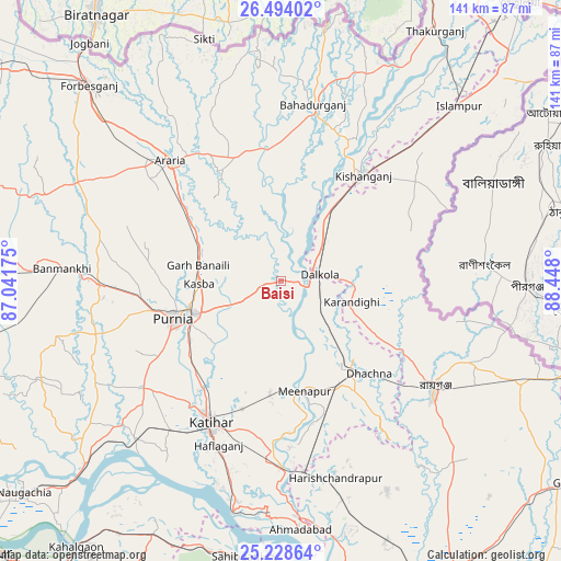
Baisi GPS coordinates[2]
25° 51' 46.872" North, 87° 44' 41.532" East
| Map corner | latitude | longitude |
|---|---|---|
| Upper-left | 26.49402°, | 87.04175° |
| Center: | 25.86302°, | 87.74487° |
| Lower-right: | 25.22864°, | 88.448° |
| Map W x H: | 140.7×140.7 km | = 87.4×87.4mi |
| max Lat: | 34.9274° ⇑30.6% North |
| Baisi: | 25.86302° |
| min Lat: | ⇓69.4% South 8.09008° |
| min Long | Baisi | max Long |
| 68.82655° | 87.74487° | 96.81° |
| W 90.7%⇐ | ⇒9.3% E |
Elevation
Elevation of Baisi is 42 m = 138 ft, and this is 253.6 m = 832 ft below average elevation for this country.
| Max E: |
3681 m = 12077 ft | 81.7% |
| Avg. | 295.6 m = 970 ft | |
| Baisi | 42 m = 138 ft | |
Min E: |
1 m = 3 ft | 18.3% |
See also: India elevation on elevation.city.
Geographical zone
Baisi is located in North temperate zone (between Tropic of Cancer and the Arctic Circle). Distance of this Northern Tropic circle is 269.8 km =167.6 mi to South.| Distance of | km | miles | from Baisi |
|---|---|---|---|
| North Pole | 7131.4 | 4431.2 | to North |
| Arctic Circle | 4525.5 | 2812 | to North |
| Tropic Cancer | 269.8 | 167.6 | to South |
| Equator | 2875.7 | 1786.9 | to South |


Nearby cities:
15 places around Baisi: (largest is in red/bold)
• Arāria
39.4 km =24.5 mi,  323°
323°
• Bahādurganj
45 km =28 mi,  10°
10°
• Banmankhi
55.2 km =34.3 mi,  272°
272°
• Dalkola
9.6 km =6 mi,  81°
81°
• Forbesganj
68.4 km =42.5 mi, 315°
• Islāmpur
63.1 km =39.2 mi,  44°
44°
• Kasba
20.7 km =12.9 mi, 267°
• Katihar
40.1 km =24.9 mi,  205°
205°
• Kishanganj
33.9 km =21.1 mi, 38°
• Kāliyāganj
63.6 km =39.5 mi,  113°
113°
• Manihāri
59.6 km =37 mi,  192°
192°
• Purnia
28.7 km =17.8 mi,  250°
250°
• Raghunāthpur
29.8 km =18.5 mi,  144°
144°
• Rāiganj
47.1 km =29.3 mi,  126°
126°
• Shahbazpur
67 km =41.6 mi, 317°
Sources, notices
• [Note1] Compared only with cities in India existing in our database
• [Src1] Map data: © OpenStreetMap contributors (CC-BY-SA)
• [Src2] Other city data from geonames.org with taken over terms of usage.
• [Src3] Geographical zone / Annual Mean Temperature by Robert A. Rohde @ Wikipedia
