Dehgolān geodata
Dehgolān (Kordestān) is a seat of a second-order administrative division; located in Iran in Asia/Tehran (GMT+3.5) time zone. In our database, there are 232 cities with bigger population. Compared to other cities in Iran, 59.6% of cities are located further ↓South; 85.9% of cities are located further →East and 86.4% of cities have lower elevation than Dehgolān. Note1


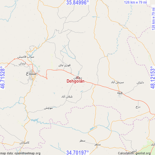
Dehgolān GPS coordinates[2]
35° 16' 40.8" North, 47° 25' 6.24" East
| Map corner | latitude | longitude |
|---|---|---|
| Upper-left | 35.84996°, | 46.71528° |
| Center: | 35.278°, | 47.4184° |
| Lower-right: | 34.70197°, | 48.12153° |
| Map W x H: | 127.6×127.6 km | = 79.3×79.3mi |
| max Lat: | 39.6482° ⇑40.4% North |
| Dehgolān: | 35.278° |
| min Lat: | ⇓59.6% South 25.2919° |
| min Long | Dehgolān | max Long |
| 44.38416° | 47.4184° | 61.9965° |
| W 14.1%⇐ | ⇒85.9% E |
Elevation
Elevation of Dehgolān is 1818 m = 5965 ft, and this is 769 m = 2523 ft above average elevation for this country.
| Max E: |
2564 m = 8412 ft | 13.6% |
| Dehgolān | 1818 m 5965 ft | |
| Avg. | 1049 m = 3442 ft | |
Min E: |
-24 m = -79 ft | 86.4% |
See also: Iran elevation on elevation.city.
Geographical zone
Dehgolān is located in North temperate zone (between Tropic of Cancer and the Arctic Circle). Distance of this Northern Tropic circle is 1316.6 km =818.1 mi to South.| Distance of | km | miles | from Dehgolān |
|---|---|---|---|
| North Pole | 6084.5 | 3780.7 | to North |
| Arctic Circle | 3478.6 | 2161.5 | to North |
| Tropic Cancer | 1316.6 | 818.1 | to South |
| Equator | 3922.5 | 2437.3 | to South |


Nearby cities:
15 places around Dehgolān: (largest is in red/bold)
• Asadābād
84.4 km =52.4 mi,  130°
130°
• Bījār
67.6 km =42 mi,  14°
14°
• Dīvāndarreh
79.2 km =49.2 mi,  333°
333°
• Javānrūd
98 km =60.9 mi,  236°
236°
• Javānrūd
99.3 km =61.7 mi, 238°
• Kangāvar
99.4 km =61.8 mi,  149°
149°
• Kāmyārān
69.4 km =43.1 mi,  219°
219°
• Pāveh
100 km =62.1 mi,  254°
254°
• Qohūrd-e ‘Olyā
62.1 km =38.6 mi,  73°
73°
• Qorveh
37.3 km =23.2 mi,  109°
109°
• Ravānsar
93.7 km =58.2 mi,  228°
228°
• Sanandaj
38.3 km =23.8 mi,  276°
276°
• Sarvābād
95.5 km =59.3 mi,  272°
272°
• Sonqor
57.6 km =35.8 mi,  163°
163°
• Şaḩneh
92 km =57.2 mi, 164°
Sources, notices
• [Note1] Compared only with cities in Iran existing in our database
• [Src1] Map data: © OpenStreetMap contributors (CC-BY-SA)
• [Src2] Other city data from geonames.org with taken over terms of usage.
• [Src3] Geographical zone / Annual Mean Temperature by Robert A. Rohde @ Wikipedia
