Akbarābād geodata
Akbarābād (Fars) is a populated place; located in Iran in Asia/Tehran (GMT+3.5) time zone. With population of 98,342 people, there are 68 cities with bigger population in this country. Compared to other cities in Iran, 86.8% of cities are located further ↑North; 63.9% of cities are located further ←West and 71.2% of cities have lower elevation than Akbarābād. Note1


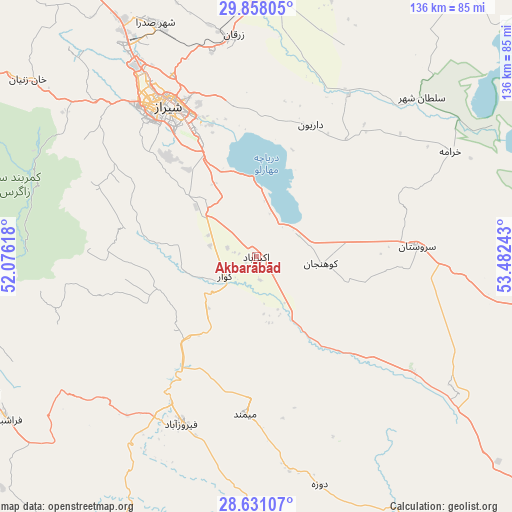
Akbarābād GPS coordinates[2]
29° 14' 47.04" North, 52° 46' 45.48" East
| Map corner | latitude | longitude |
|---|---|---|
| Upper-left | 29.85805°, | 52.07618° |
| Center: | 29.2464°, | 52.7793° |
| Lower-right: | 28.63107°, | 53.48243° |
| Map W x H: | 136.4×136.4 km | = 84.8×84.8mi |
| max Lat: | 39.6482° ⇑86.8% North |
| Akbarābād: | 29.2464° |
| min Lat: | ⇓13.2% South 25.2919° |
| min Long | Akbarābād | max Long |
| 44.38416° | 52.7793° | 61.9965° |
| W 63.9%⇐ | ⇒36.1% E |
Elevation
Elevation of Akbarābād is 1518 m = 4980 ft, and this is 469 m = 1539 ft above average elevation for this country.
| Max E: |
2564 m = 8412 ft | 28.8% |
| Akbarābād | 1518 m 4980 ft | |
| Avg. | 1049 m = 3442 ft | |
Min E: |
-24 m = -79 ft | 71.2% |
See also: Akbarābād elevation on elevation.city.
Geographical zone
Akbarābād is located in North temperate zone (between Tropic of Cancer and the Arctic Circle). Distance of this Northern Tropic circle is 646 km =401.4 mi to South.| Distance of | km | miles | from Akbarābād |
|---|---|---|---|
| North Pole | 6755.2 | 4197.5 | to North |
| Arctic Circle | 4149.3 | 2578.3 | to North |
| Tropic Cancer | 646 | 401.4 | to South |
| Equator | 3251.9 | 2020.6 | to South |


Nearby cities:
15 places around Akbarābād: (largest is in red/bold)
• Arsanjān
90 km =55.9 mi,  34°
34°
• Estahbān
123.3 km =76.6 mi,  96°
96°
• Farāshband
78.8 km =49 mi,  238°
238°
• Fasā
91.1 km =56.6 mi,  112°
112°
• Fīrūzābād
49.1 km =30.5 mi,  204°
204°
• Jahrom
112.6 km =70 mi,  137°
137°
• Kavār
9.8 km =6.1 mi, 242°
• Kherāmeh
58.8 km =36.5 mi,  61°
61°
• Kāzerūn
116.6 km =72.5 mi,  290°
290°
• Marvdasht
69.8 km =43.4 mi,  1°
1°
• Pāsārgād
113.1 km =70.3 mi,  20°
20°
• Qīr
88.5 km =55 mi,  163°
163°
• Sarvestān
42.9 km =26.7 mi,  85°
85°
• Sa‘ādat Shahr
98.8 km =61.4 mi, 20°
• Shiraz
47.1 km =29.3 mi,  329°
329°
Sources, notices
• [Note1] Compared only with cities in Iran existing in our database
• [Src1] Map data: © OpenStreetMap contributors (CC-BY-SA)
• [Src2] Other city data from geonames.org with taken over terms of usage.
• [Src3] Geographical zone / Annual Mean Temperature by Robert A. Rohde @ Wikipedia
