Qīr geodata
Qīr (Fars) is a seat of a second-order administrative division; located in Iran in Asia/Tehran (GMT+3.5) time zone. In our database, there are 232 cities with bigger population. Compared to other cities in Iran, 90.9% of cities are located further ↑North; 65.1% of cities are located further ←West and 67.6% of cities have higher elevation than Qīr. Note1


Qīr GPS coordinates[2]
28° 28' 57" North, 53° 2' 4.56" East
| Map corner | latitude | longitude |
|---|---|---|
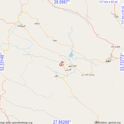
| Upper-left | 29.0987°, | 52.33148° |
| Center: | 28.4825°, | 53.0346° |
| Lower-right: | 27.86268°, | 53.73773° |
| Map W x H: | 137.4×137.4 km | = 85.4×85.4mi |
| max Lat: | 39.6482° ⇑90.9% North |
| Qīr: | 28.4825° |
| min Lat: | ⇓9.1% South 25.2919° |
| min Long | Qīr | max Long |
| 44.38416° | 53.0346° | 61.9965° |
| W 65.1%⇐ | ⇒34.9% E |
Elevation
Elevation of Qīr is 774 m = 2539 ft, and this is 275 m = 902 ft below average elevation for this country.
| Max E: |
2564 m = 8412 ft | 67.6% |
| Avg. | 1049 m = 3442 ft | |
| Qīr | 774 m = 2539 ft | |
Min E: |
-24 m = -79 ft | 32.4% |
See also: Iran elevation on elevation.city.
Geographical zone
Qīr is located in North temperate zone (between Tropic of Cancer and the Arctic Circle). Distance of this Northern Tropic circle is 561 km =348.6 mi to South.| Distance of | km | miles | from Qīr |
|---|---|---|---|
| North Pole | 6840.1 | 4250.2 | to North |
| Arctic Circle | 4234.2 | 2631 | to North |
| Tropic Cancer | 561 | 348.6 | to South |
| Equator | 3167 | 1967.9 | to South |


Nearby cities:
15 places around Qīr: (largest is in red/bold)
• Akbarābād
88.5 km =55 mi,  343°
343°
• Bandar-e ‘Asalūyeh
119.5 km =74.3 mi,  200°
200°
• Estahbān
121.5 km =75.5 mi,  53°
53°
• Farāshband
101.6 km =63.1 mi,  295°
295°
• Fasā
78.4 km =48.7 mi, 49°
• Fīrūzābād
60.5 km =37.6 mi,  311°
311°
• Jahrom
51.4 km =31.9 mi,  87°
87°
• Jam
100.6 km =62.5 mi,  223°
223°
• Kangān
119.5 km =74.3 mi,  232°
232°
• Kavār
87.1 km =54.1 mi, 337°
• Kherāmeh
116.2 km =72.2 mi,  13°
13°
• Khonj
76.5 km =47.5 mi,  149°
149°
• Lamerd
128.5 km =79.8 mi,  173°
173°
• Mohr
104.2 km =64.7 mi,  188°
188°
• Sarvestān
89.8 km =55.8 mi, 11°
Sources, notices
• [Note1] Compared only with cities in Iran existing in our database
• [Src1] Map data: © OpenStreetMap contributors (CC-BY-SA)
• [Src2] Other city data from geonames.org with taken over terms of usage.
• [Src3] Geographical zone / Annual Mean Temperature by Robert A. Rohde @ Wikipedia
