Biikzhal geodata
Biikzhal (Atyraū) is a populated place; located in Kazakhstan in Asia/Atyrau (GMT+5) time zone. With population of 828 people, there are 266 cities with bigger population in this country. Compared to other cities in Kazakhstan, 64.4% of cities are located further ↑North; 85.6% of cities are located further →East and 92.6% of cities have higher elevation than Biikzhal. Note1


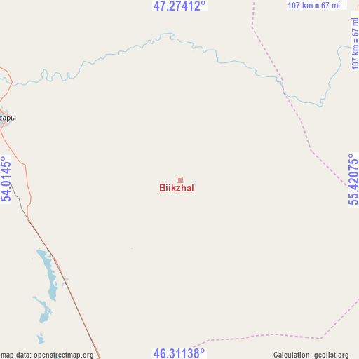
Biikzhal GPS coordinates[2]
46° 47' 41.64" North, 54° 43' 3.432" East
| Map corner | latitude | longitude |
|---|---|---|
| Upper-left | 47.27412°, | 54.0145° |
| Center: | 46.7949°, | 54.71762° |
| Lower-right: | 46.31138°, | 55.42075° |
| Map W x H: | 107×107 km | = 66.5×66.5mi |
| max Lat: | 54.90596° ⇑64.4% North |
| Biikzhal: | 46.7949° |
| min Lat: | ⇓35.6% South 40.66338° |
| min Long | Biikzhal | max Long |
| 46.83361° | 54.71762° | 84.87144° |
| W 14.4%⇐ | ⇒85.6% E |
Elevation
Elevation of Biikzhal is 12 m = 39 ft, and this is 344.5 m = 1130 ft below average elevation for this country.
| Max E: |
1847 m = 6060 ft | 92.6% |
| Avg. | 356.5 m = 1170 ft | |
| Biikzhal | 12 m = 39 ft | |
Min E: |
-26 m = -85 ft | 7.4% |
See also: Kazakhstan elevation on elevation.city.
Geographical zone
Biikzhal is located in North temperate zone (between Tropic of Cancer and the Arctic Circle). Distance of this North polar circle is 2198.1 km =1365.8 mi to North.| Distance of | km | miles | from Biikzhal |
|---|---|---|---|
| North Pole | 4804 | 2985.1 | to North |
| Arctic Circle | 2198.1 | 1365.8 | to North |
| Tropic Cancer | 2597.2 | 1613.8 | to South |
| Equator | 5203.1 | 3233.1 | to South |


Nearby cities:
15 places around Biikzhal: (largest is in red/bold)
• Akkol’
247.8 km =154 mi,  332°
332°
• Atyrau
218 km =135.5 mi,  279°
279°
• Balykshi
218.6 km =135.8 mi, 277°
• Bayganin
227.8 km =141.5 mi,  22°
22°
• Bayshonas
143.5 km =89.2 mi,  290°
290°
• Beyneu
168.5 km =104.7 mi,  167°
167°
• Dossor
154.5 km =96 mi,  301°
301°
• Makhambet
255.7 km =158.9 mi, 292°
• Maqat
142.2 km =88.4 mi,  311°
311°
• Miyaly
242.4 km =150.6 mi,  343°
343°
• Qaraton
102.2 km =63.5 mi,  246°
246°
• Qulsary
55.9 km =34.7 mi, 288°
• Sayötesh
289.4 km =179.8 mi,  198°
198°
• Shubarkuduk
292.3 km =181.6 mi,  26°
26°
• Shubarshi
271 km =168.4 mi,  42°
42°
Sources, notices
• [Note1] Compared only with cities in Kazakhstan existing in our database
• [Src1] Map data: © OpenStreetMap contributors (CC-BY-SA)
• [Src2] Other city data from geonames.org with taken over terms of usage.
• [Src3] Geographical zone / Annual Mean Temperature by Robert A. Rohde @ Wikipedia
