Shubarshi geodata
Shubarshi (Aqtöbe) is a populated place; located in Kazakhstan in Asia/Aqtobe (GMT+5) time zone. With population of 8,651 people, there are 137 cities with bigger population in this country. Compared to other cities in Kazakhstan, 53% of cities are located further ↑North; 83.3% of cities are located further →East and 69.6% of cities have higher elevation than Shubarshi. Note1


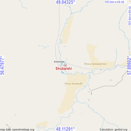
Shubarshi GPS coordinates[2]
48° 34' 48.792" North, 57° 10' 58.404" East
| Map corner | latitude | longitude |
|---|---|---|
| Upper-left | 49.04325°, | 56.47977° |
| Center: | 48.58022°, | 57.18289° |
| Lower-right: | 48.11291°, | 57.88602° |
| Map W x H: | 103.4×103.4 km | = 64.2×64.2mi |
| max Lat: | 54.90596° ⇑53% North |
| Shubarshi: | 48.58022° |
| min Lat: | ⇓47% South 40.66338° |
| min Long | Shubarshi | max Long |
| 46.83361° | 57.18289° | 84.87144° |
| W 16.7%⇐ | ⇒83.3% E |
Elevation
Elevation of Shubarshi is 183 m = 600 ft, and this is 173.5 m = 569 ft below average elevation for this country.
| Max E: |
1847 m = 6060 ft | 69.6% |
| Avg. | 356.5 m = 1170 ft | |
| Shubarshi | 183 m = 600 ft | |
Min E: |
-26 m = -85 ft | 30.4% |
See also: Kazakhstan elevation on elevation.city.
Geographical zone
Shubarshi is located in North temperate zone (between Tropic of Cancer and the Arctic Circle). Distance of this North polar circle is 1999.6 km =1242.5 mi to North.| Distance of | km | miles | from Shubarshi |
|---|---|---|---|
| North Pole | 4605.4 | 2861.7 | to North |
| Arctic Circle | 1999.6 | 1242.5 | to North |
| Tropic Cancer | 2795.7 | 1737.2 | to South |
| Equator | 5401.6 | 3356.4 | to South |


Nearby cities:
15 places around Shubarshi: (largest is in red/bold)
• Aktobe
189 km =117.4 mi,  0°
0°
• Batamshinskiy
233.9 km =145.3 mi,  19°
19°
• Bayganin
96.9 km =60.2 mi,  277°
277°
• Biikzhal
271 km =168.4 mi,  222°
222°
• Chingirlau
357.4 km =222.1 mi,  321°
321°
• Embi
76.2 km =47.3 mi,  68°
68°
• Kandyagash
100.3 km =62.3 mi,  9°
9°
• Khromtau
206.8 km =128.5 mi,  26°
26°
• Maqat
305 km =189.5 mi,  250°
250°
• Martuk
245.8 km =152.7 mi,  348°
348°
• Miyaly
251 km =156 mi, 277°
• Qulsary
297.6 km =184.9 mi,  232°
232°
• Shalqar
197.4 km =122.7 mi,  114°
114°
• Shubarkuduk
81 km =50.3 mi, 320°
• Temir
62.5 km =38.8 mi,  356°
356°
Sources, notices
• [Note1] Compared only with cities in Kazakhstan existing in our database
• [Src1] Map data: © OpenStreetMap contributors (CC-BY-SA)
• [Src2] Other city data from geonames.org with taken over terms of usage.
• [Src3] Geographical zone / Annual Mean Temperature by Robert A. Rohde @ Wikipedia
