Beyneu geodata
Beyneu (Mangghystaū) is a populated place; located in Kazakhstan in Asia/Aqtau (GMT+5) time zone. With population of 14,245 people, there are 80 cities with bigger population in this country. Compared to other cities in Kazakhstan, 70.7% of cities are located further ↑North; 85.2% of cities are located further →East and 93.3% of cities have higher elevation than Beyneu. Note1


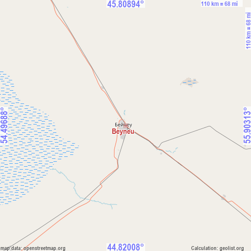
Beyneu GPS coordinates[2]
45° 19' 0.012" North, 55° 12' 0" East
| Map corner | latitude | longitude |
|---|---|---|
| Upper-left | 45.80894°, | 54.49688° |
| Center: | 45.31667°, | 55.2° |
| Lower-right: | 44.82008°, | 55.90313° |
| Map W x H: | 110×109.9 km | = 68.4×68.3mi |
| max Lat: | 54.90596° ⇑70.7% North |
| Beyneu: | 45.31667° |
| min Lat: | ⇓29.3% South 40.66338° |
| min Long | Beyneu | max Long |
| 46.83361° | 55.2° | 84.87144° |
| W 14.8%⇐ | ⇒85.2% E |
Elevation
Elevation of Beyneu is 6 m = 20 ft, and this is 350.5 m = 1150 ft below average elevation for this country.
| Max E: |
1847 m = 6060 ft | 93.3% |
| Avg. | 356.5 m = 1170 ft | |
| Beyneu | 6 m = 20 ft | |
Min E: |
-26 m = -85 ft | 6.7% |
See also: Kazakhstan elevation on elevation.city.
Geographical zone
Beyneu is located in North temperate zone (between Tropic of Cancer and the Arctic Circle). Distance of this North polar circle is 2362.4 km =1467.9 mi to North.| Distance of | km | miles | from Beyneu |
|---|---|---|---|
| North Pole | 4968.3 | 3087.2 | to North |
| Arctic Circle | 2362.4 | 1467.9 | to North |
| Tropic Cancer | 2432.8 | 1511.7 | to South |
| Equator | 5038.7 | 3130.9 | to South |


Nearby cities:
15 places around Beyneu: (largest is in red/bold)
• Atyrau
324.2 km =201.4 mi,  308°
308°
• Balykshi
322 km =200.1 mi, 307°
• Bayganin
378.5 km =235.2 mi,  7°
7°
• Bayshonas
275.5 km =171.2 mi,  320°
320°
• Biikzhal
168.5 km =104.7 mi,  347°
347°
• Dossor
298.9 km =185.7 mi,  325°
325°
• Maqat
296.8 km =184.4 mi, 330°
• Munayshy
318.6 km =198 mi,  230°
230°
• Qaraton
181.8 km =113 mi, 313°
• Qulsary
203.4 km =126.4 mi, 333°
• Sayötesh
171.4 km =106.5 mi, 230°
• Shetpe
275 km =170.9 mi,  242°
242°
• Taūshyq
322.2 km =200.2 mi,  250°
250°
• Zhanaozen
287.8 km =178.8 mi,  220°
220°
• Zhetibay
313.1 km =194.6 mi, 232°
Sources, notices
• [Note1] Compared only with cities in Kazakhstan existing in our database
• [Src1] Map data: © OpenStreetMap contributors (CC-BY-SA)
• [Src2] Other city data from geonames.org with taken over terms of usage.
• [Src3] Geographical zone / Annual Mean Temperature by Robert A. Rohde @ Wikipedia
