Sarykamys geodata
Sarykamys is a populated place; located in Kazakhstan in Asia/Almaty (GMT+5) time zone. With population of 4,038 people, there are 212 cities with bigger population in this country. Compared to other cities in Kazakhstan, 57.4% of cities are located further ↑North; 85.2% of cities are located further ←West and 78.9% of cities have lower elevation than Sarykamys. Note1


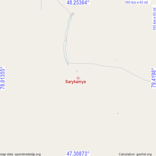
Sarykamys GPS coordinates[2]
47° 46' 59.988" North, 78° 43' 0.012" East
| Map corner | latitude | longitude |
|---|---|---|
| Upper-left | 48.25364°, | 78.01355° |
| Center: | 47.78333°, | 78.71667° |
| Lower-right: | 47.30873°, | 79.4198° |
| Map W x H: | 105.1×105.1 km | = 65.3×65.3mi |
| max Lat: | 54.90596° ⇑57.4% North |
| Sarykamys: | 47.78333° |
| min Lat: | ⇓42.6% South 40.66338° |
| min Long | Sarykamys | max Long |
| 46.83361° | 78.71667° | 84.87144° |
| W 85.2%⇐ | ⇒14.8% E |
Elevation
Elevation of Sarykamys is 544 m = 1785 ft, and this is 187.5 m = 615 ft above average elevation for this country.
| Max E: |
1847 m = 6060 ft | 21.1% |
| Sarykamys | 544 m 1785 ft | |
| Avg. | 356.5 m = 1170 ft | |
Min E: |
-26 m = -85 ft | 78.9% |
See also: Kazakhstan elevation on elevation.city.
Geographical zone
Sarykamys is located in North temperate zone (between Tropic of Cancer and the Arctic Circle). Distance of this North polar circle is 2088.2 km =1297.5 mi to North.| Distance of | km | miles | from Sarykamys |
|---|---|---|---|
| North Pole | 4694.1 | 2916.8 | to North |
| Arctic Circle | 2088.2 | 1297.5 | to North |
| Tropic Cancer | 2707.1 | 1682.1 | to South |
| Equator | 5313 | 3301.3 | to South |


Nearby cities:
15 places around Sarykamys: (largest is in red/bold)
• Aktogay
257.8 km =160.2 mi,  279°
279°
• Aqtoghay
117.1 km =72.8 mi,  142°
142°
• Ayagoz
129.7 km =80.6 mi,  81°
81°
• Georgīevka
271.4 km =168.6 mi,  50°
50°
• Karabas
235.6 km =146.4 mi,  233°
233°
• Lepsy
173 km =107.5 mi,  174°
174°
• Matay
210 km =130.5 mi,  179°
179°
• Molaly
260.9 km =162.1 mi,  186°
186°
• Priisk Boko
258.5 km =160.6 mi,  56°
56°
• Qaraūyl
135.2 km =84 mi,  17°
17°
• Sayaq
139.6 km =86.7 mi, 231°
• Shar
263.7 km =163.9 mi,  40°
40°
• Suykbulak
273.9 km =170.2 mi, 38°
• Urzhar
232.1 km =144.2 mi,  109°
109°
• Zhalghyztobe
243.1 km =151.1 mi, 49°
Sources, notices
• [Note1] Compared only with cities in Kazakhstan existing in our database
• [Src1] Map data: © OpenStreetMap contributors (CC-BY-SA)
• [Src2] Other city data from geonames.org with taken over terms of usage.
• [Src3] Geographical zone / Annual Mean Temperature by Robert A. Rohde @ Wikipedia
