Baikonur geodata
Baikonur is a seat of a first-order administrative division; located in Kazakhstan in Asia/Qostanay (GMT+5) time zone. With population of 70,000 people, there are 25 cities with bigger population in this country. Compared to other cities in Kazakhstan, 68.9% of cities are located further ↑North; 75.2% of cities are located further →East and 85.2% of cities have higher elevation than Baikonur. Note1


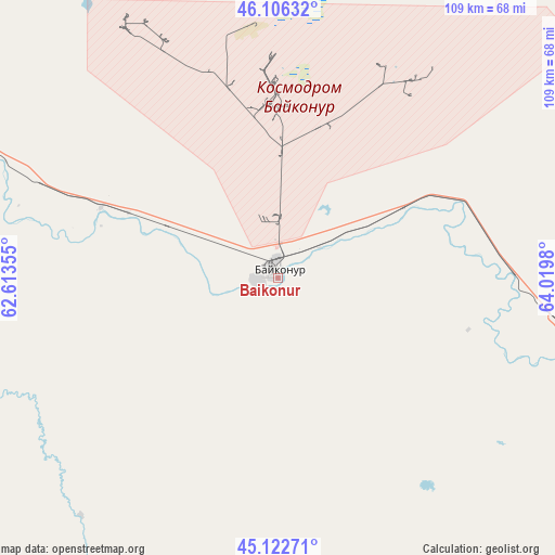
Baikonur GPS coordinates[2]
45° 37' 0.012" North, 63° 19' 0.012" East
| Map corner | latitude | longitude |
|---|---|---|
| Upper-left | 46.10632°, | 62.61355° |
| Center: | 45.61667°, | 63.31667° |
| Lower-right: | 45.12271°, | 64.0198° |
| Map W x H: | 109.4×109.4 km | = 68×68mi |
| max Lat: | 54.90596° ⇑68.9% North |
| Baikonur: | 45.61667° |
| min Lat: | ⇓31.1% South 40.66338° |
| min Long | Baikonur | max Long |
| 46.83361° | 63.31667° | 84.87144° |
| W 24.8%⇐ | ⇒75.2% E |
Elevation
Elevation of Baikonur is 91 m = 299 ft, and this is 265.5 m = 871 ft below average elevation for this country.
| Max E: |
1847 m = 6060 ft | 85.2% |
| Avg. | 356.5 m = 1170 ft | |
| Baikonur | 91 m = 299 ft | |
Min E: |
-26 m = -85 ft | 14.8% |
See also: Baikonur elevation on elevation.city.
Geographical zone
Baikonur is located in North temperate zone (between Tropic of Cancer and the Arctic Circle). Distance of this North polar circle is 2329.1 km =1447.2 mi to North.| Distance of | km | miles | from Baikonur |
|---|---|---|---|
| North Pole | 4935 | 3066.5 | to North |
| Arctic Circle | 2329.1 | 1447.2 | to North |
| Tropic Cancer | 2466.2 | 1532.4 | to South |
| Equator | 5072.1 | 3151.7 | to South |


Nearby cities:
13 places around Baikonur: (largest is in red/bold)
• Aral
182.8 km =113.6 mi,  316°
316°
• Ayteke Bi
93.9 km =58.3 mi,  285°
285°
• Belköl
199.1 km =123.7 mi,  116°
116°
• Dzhalagash
121 km =75.2 mi, 119°
• Kyzylorda
191.5 km =119 mi, 116°
• Qazaly
95.3 km =59.2 mi,  279°
279°
• Sekseūil
233.3 km =145 mi,  314°
314°
• Shīeli
313.9 km =195 mi, 120°
• Tasböget
198.7 km =123.5 mi, 118°
• Terenozek
144.7 km =89.9 mi, 115°
• Tyuratam
3.7 km =2.3 mi,  353°
353°
• Yrghyz
367.8 km =228.5 mi,  335°
335°
• Zhosaly
61 km =37.9 mi,  103°
103°
Sources, notices
• [Note1] Compared only with cities in Kazakhstan existing in our database
• [Src1] Map data: © OpenStreetMap contributors (CC-BY-SA)
• [Src2] Other city data from geonames.org with taken over terms of usage.
• [Src3] Geographical zone / Annual Mean Temperature by Robert A. Rohde @ Wikipedia
