Voinjama geodata
Voinjama (Lofa) is a seat of a first-order administrative division; located in Liberia in Africa/Monrovia (GMT+0) time zone. With population of 26,594 people, there are 5 cities with bigger population in this country. Compared to other cities in Liberia, 100% of cities are located further ↓South; 61.1% of cities are located further →East and 100% of cities have lower elevation than Voinjama. Note1


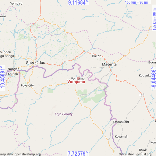
Voinjama GPS coordinates[2]
8° 25' 18.984" North, 9° 44' 52.008" West
| Map corner | latitude | longitude |
|---|---|---|
| Upper-left | 9.11684°, | -10.45091° |
| Center: | 8.42194°, | -9.74778° |
| Lower-right: | 7.72579°, | -9.04466° |
| Map W x H: | 154.7×154.7 km | = 96.1×96.1mi |
| max Lat: | 8.42194° ⇑0% North |
| Voinjama: | 8.42194° |
| min Lat: | ⇓100% South 4.3782° |
| min Long | Voinjama | max Long |
| -11.3671° | -9.74778° | -7.71081° |
| W 38.9%⇐ | ⇒61.1% E |
Elevation
Elevation of Voinjama is 550 m = 1804 ft, and this is 370.9 m = 1217 ft above average elevation for this country.
| Max E: |
550 m = 1804 ft | 0% |
| Voinjama | 550 m 1804 ft | |
| Avg. | 179.1 m = 588 ft | |
Min E: |
5 m = 16 ft | 100% |
See also: Liberia elevation on elevation.city.
Geographical zone
Voinjama is located in North Torrid zone (between Equator and Tropic of Cancer). Distance of Equator is 936.4 km =581.9 mi to South.| Distance of | km | miles | from Voinjama |
|---|---|---|---|
| North Pole | 9070.6 | 5636.2 | to North |
| Arctic Circle | 6464.7 | 4017 | to North |
| Tropic Cancer | 1669.5 | 1037.4 | to North |
| Equator | 936.4 | 581.9 | to South |


Nearby cities:
15 places around Voinjama: (largest is in red/bold)
• Bensonville
239.4 km =148.8 mi,  203°
203°
• Bopolu
171.3 km =106.4 mi,  208°
208°
• Buchanan
284.9 km =177 mi,  186°
186°
• Buutuo
235.4 km =146.3 mi,  138°
138°
• Cestos City
330.2 km =205.2 mi,  176°
176°
• Ganta
182.9 km =113.6 mi,  132°
132°
• Gbarnga
161.5 km =100.4 mi,  169°
169°
• Greenville
387.2 km =240.6 mi, 168°
• Kakata
220.6 km =137.1 mi, 197°
• Monrovia
262.7 km =163.2 mi, 206°
• New Yekepa
162.9 km =101.2 mi, 125°
• Robertsport
257.4 km =159.9 mi,  223°
223°
• Sanniquellie
163.9 km =101.8 mi, 135°
• Tubmanburg
209.1 km =129.9 mi, 214°
• Zwedru
316.4 km =196.6 mi,  145°
145°
Sources, notices
• [Note1] Compared only with cities in Liberia existing in our database
• [Src1] Map data: © OpenStreetMap contributors (CC-BY-SA)
• [Src2] Other city data from geonames.org with taken over terms of usage.
• [Src3] Geographical zone / Annual Mean Temperature by Robert A. Rohde @ Wikipedia
