Robertsport geodata
Robertsport (Grand Cape Mount) is a seat of a first-order administrative division; located in Liberia in Africa/Monrovia (GMT+0) time zone. With population of 11,969 people, there are 11 cities with bigger population in this country. Compared to other cities in Liberia, 55.6% of cities are located further ↓South; 100% of cities are located further →East and 77.8% of cities have higher elevation than Robertsport. Note1


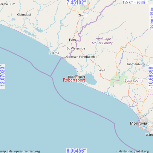
Robertsport GPS coordinates[2]
6° 45' 11.844" North, 11° 22' 1.56" West
| Map corner | latitude | longitude |
|---|---|---|
| Upper-left | 7.45102°, | -12.07023° |
| Center: | 6.75329°, | -11.3671° |
| Lower-right: | 6.05456°, | -10.66398° |
| Map W x H: | 155.3×155.3 km | = 96.5×96.5mi |
| max Lat: | 8.42194° ⇑44.4% North |
| Robertsport: | 6.75329° |
| min Lat: | ⇓55.6% South 4.3782° |
| min Long | Robertsport | max Long |
| -11.3671° | -11.3671° | -7.71081° |
| W 0%⇐ | ⇒100% E |
Elevation
Elevation of Robertsport is 25 m = 82 ft, and this is 154.1 m = 506 ft below average elevation for this country.
| Max E: |
550 m = 1804 ft | 77.8% |
| Avg. | 179.1 m = 588 ft | |
| Robertsport | 25 m = 82 ft | |
Min E: |
5 m = 16 ft | 22.2% |
See also: Liberia elevation on elevation.city.
Geographical zone
Robertsport is located in North Torrid zone (between Equator and Tropic of Cancer). Distance of Equator is 750.9 km =466.6 mi to South.| Distance of | km | miles | from Robertsport |
|---|---|---|---|
| North Pole | 9256.2 | 5751.5 | to North |
| Arctic Circle | 6650.3 | 4132.3 | to North |
| Tropic Cancer | 1855 | 1152.6 | to North |
| Equator | 750.9 | 466.6 | to South |


Nearby cities:
15 places around Robertsport: (largest is in red/bold)
• Bensonville
90 km =55.9 mi,  112°
112°
• Bopolu
103.2 km =64.1 mi,  70°
70°
• Buchanan
175.2 km =108.9 mi,  123°
123°
• Buutuo
334 km =207.5 mi,  88°
88°
• Cestos City
244.4 km =151.9 mi,  126°
126°
• Ganta
318.9 km =198.2 mi,  78°
78°
• Gbarnga
211 km =131.1 mi, 82°
• Greenville
322.2 km =200.2 mi, 126°
• Kakata
114.6 km =71.2 mi,  102°
102°
• Monrovia
80.6 km =50.1 mi, 128°
• New Yekepa
325.4 km =202.2 mi, 73°
• Sanniquellie
300.6 km =186.8 mi, 76°
• Tubmanburg
61.7 km =38.3 mi, 77°
• Voinjama
257.4 km =159.9 mi,  43°
43°
• Zwedru
365.1 km =226.9 mi, 102°
Sources, notices
• [Note1] Compared only with cities in Liberia existing in our database
• [Src1] Map data: © OpenStreetMap contributors (CC-BY-SA)
• [Src2] Other city data from geonames.org with taken over terms of usage.
• [Src3] Geographical zone / Annual Mean Temperature by Robert A. Rohde @ Wikipedia
