Tubmanburg geodata
Tubmanburg (Bomi) is a seat of a first-order administrative division; located in Liberia in Africa/Monrovia (GMT+0) time zone. With population of 3,155 people, there are 14 cities with bigger population in this country. Compared to other cities in Liberia, 66.7% of cities are located further ↓South; 94.4% of cities are located further →East and 61.1% of cities have higher elevation than Tubmanburg. Note1


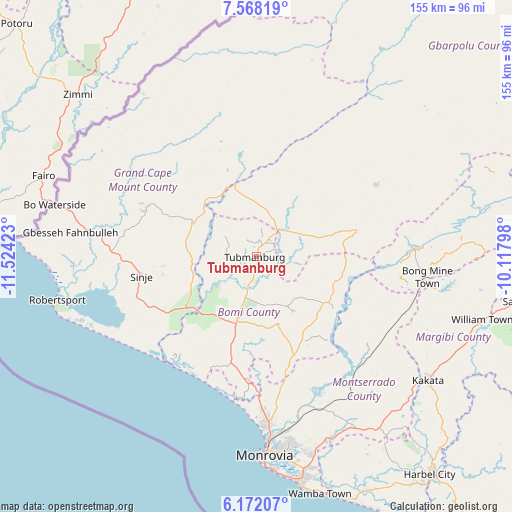
Tubmanburg GPS coordinates[2]
6° 52' 14.304" North, 10° 49' 15.96" West
| Map corner | latitude | longitude |
|---|---|---|
| Upper-left | 7.56819°, | -11.52423° |
| Center: | 6.87064°, | -10.8211° |
| Lower-right: | 6.17207°, | -10.11798° |
| Map W x H: | 155.2×155.2 km | = 96.4×96.4mi |
| max Lat: | 8.42194° ⇑33.3% North |
| Tubmanburg: | 6.87064° |
| min Lat: | ⇓66.7% South 4.3782° |
| min Long | Tubmanburg | max Long |
| -11.3671° | -10.8211° | -7.71081° |
| W 5.6%⇐ | ⇒94.4% E |
Elevation
Elevation of Tubmanburg is 71 m = 233 ft, and this is 108.1 m = 355 ft below average elevation for this country.
| Max E: |
550 m = 1804 ft | 61.1% |
| Avg. | 179.1 m = 588 ft | |
| Tubmanburg | 71 m = 233 ft | |
Min E: |
5 m = 16 ft | 38.9% |
See also: Liberia elevation on elevation.city.
Geographical zone
Tubmanburg is located in North Torrid zone (between Equator and Tropic of Cancer). Distance of Equator is 763.9 km =474.7 mi to South.| Distance of | km | miles | from Tubmanburg |
|---|---|---|---|
| North Pole | 9243.1 | 5743.4 | to North |
| Arctic Circle | 6637.2 | 4124.2 | to North |
| Tropic Cancer | 1842 | 1144.6 | to North |
| Equator | 763.9 | 474.7 | to South |


Nearby cities:
15 places around Tubmanburg: (largest is in red/bold)
• Bensonville
52.4 km =32.6 mi,  153°
153°
• Bopolu
42.8 km =26.6 mi,  59°
59°
• Buchanan
139.6 km =86.7 mi,  142°
142°
• Buutuo
273.6 km =170 mi,  91°
91°
• Cestos City
208.5 km =129.6 mi, 138°
• Ganta
257.2 km =159.8 mi,  79°
79°
• Gbarnga
149.6 km =93 mi, 84°
• Greenville
285.6 km =177.5 mi, 136°
• Kakata
64 km =39.8 mi,  126°
126°
• Monrovia
63.4 km =39.4 mi,  177°
177°
• New Yekepa
263.9 km =164 mi,  72°
72°
• Robertsport
61.7 km =38.3 mi,  257°
257°
• Sanniquellie
238.9 km =148.4 mi, 76°
• Voinjama
209.1 km =129.9 mi,  34°
34°
• Zwedru
309.8 km =192.5 mi,  106°
106°
Sources, notices
• [Note1] Compared only with cities in Liberia existing in our database
• [Src1] Map data: © OpenStreetMap contributors (CC-BY-SA)
• [Src2] Other city data from geonames.org with taken over terms of usage.
• [Src3] Geographical zone / Annual Mean Temperature by Robert A. Rohde @ Wikipedia
