Sitpach geodata
Sitpach (Yucatán) is a populated place; located in Mexico in America/Merida (GMT-6) time zone. With population of 1,634 people, there are 5296 cities with bigger population in this country. Compared to other cities in Mexico, 76.8% of cities are located further ↓South; 98.1% of cities are located further ←West and 96.3% of cities have higher elevation than Sitpach. Note1


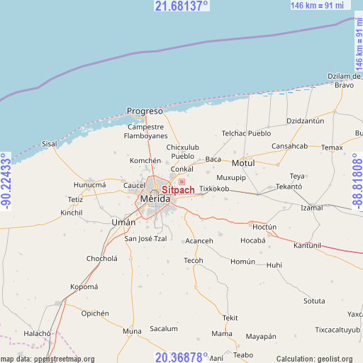
Sitpach GPS coordinates[2]
21° 1' 35.472" North, 89° 31' 16.32" West
| Map corner | latitude | longitude |
|---|---|---|
| Upper-left | 21.68137°, | -90.22433° |
| Center: | 21.02652°, | -89.5212° |
| Lower-right: | 20.36878°, | -88.81808° |
| Map W x H: | 145.9×145.9 km | = 90.7×90.7mi |
| max Lat: | 32.7° ⇑23.2% North |
| Sitpach: | 21.02652° |
| min Lat: | ⇓76.8% South 14.53588° |
| min Long | Sitpach | max Long |
| -117.105° | -89.5212° | -86.73105° |
| W 98.1%⇐ | ⇒1.9% E |
Elevation
Elevation of Sitpach is 11 m = 36 ft, and this is 1242.7 m = 4077 ft below average elevation for this country.
| Max E: |
3497 m = 11473 ft | 96.3% |
| Avg. | 1253.7 m = 4113 ft | |
| Sitpach | 11 m = 36 ft | |
Min E: |
-1 m = -3 ft | 3.7% |
See also: Mexico elevation on elevation.city.
Geographical zone
Sitpach is located in North Torrid zone (between Equator and Tropic of Cancer). Distance of this Northern Tropic circle is 268 km =166.5 mi to North.| Distance of | km | miles | from Sitpach |
|---|---|---|---|
| North Pole | 7669.1 | 4765.4 | to North |
| Arctic Circle | 5063.2 | 3146.1 | to North |
| Tropic Cancer | 268 | 166.5 | to North |
| Equator | 2337.9 | 1452.7 | to South |


Nearby cities:
15 places around Sitpach: (largest is in red/bold)
• Chablekal
9.7 km =6 mi,  322°
322°
• Chicxulub Pueblo
12.2 km =7.6 mi,  2°
2°
• Chochoh
6.7 km =4.2 mi,  123°
123°
• Cholul
4.3 km =2.7 mi,  294°
294°
• Conkal
5.2 km =3.2 mi, 1°
• Kanasín
10.9 km =6.8 mi,  200°
200°
• Mococha
11.4 km =7.1 mi,  38°
38°
• Mérida
11.5 km =7.1 mi,  240°
240°
• Nolo
10.4 km =6.5 mi,  100°
100°
• Oncan
8 km =5 mi,  151°
151°
• Tekát
9.3 km =5.8 mi,  32°
32°
• Teya
10 km =6.2 mi,  179°
179°
• Tixpehual
9.9 km =6.2 mi, 123°
• Xcanatún
12.6 km =7.8 mi,  296°
296°
• Yaxkukul
11.3 km =7 mi,  69°
69°
Sources, notices
• [Note1] Compared only with cities in Mexico existing in our database
• [Src1] Map data: © OpenStreetMap contributors (CC-BY-SA)
• [Src2] Other city data from geonames.org with taken over terms of usage.
• [Src3] Geographical zone / Annual Mean Temperature by Robert A. Rohde @ Wikipedia
