Windhoek geodata
Windhoek (Khomas) is a capital of a political entity; located in Namibia in Africa/Windhoek (GMT+2) time zone. With population of 268,132 people, there are 0 cities with bigger population in this country. Compared to other cities in Namibia, 68.2% of cities are located further ↑North; 59.1% of cities are located further ←West and 100% of cities have lower elevation than Windhoek. Note1


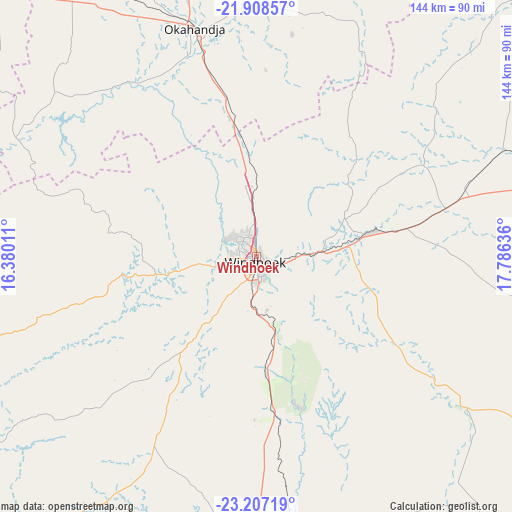
Windhoek GPS coordinates[2]
22° 33' 33.876" South, 17° 4' 59.628" East
| Map corner | latitude | longitude |
|---|---|---|
| Upper-left | -21.90857°, | 16.38011° |
| Center: | -22.55941°, | 17.08323° |
| Lower-right: | -23.20719°, | 17.78636° |
| Map W x H: | 144.4×144.4 km | = 89.7×89.7mi |
| max Lat: | -17.4° ⇑68.2% North |
| Windhoek: | -22.55941° |
| min Lat: | ⇓31.8% South -28.55° |
| min Long | Windhoek | max Long |
| 13.83998° | 17.08323° | 24.26667° |
| W 59.1%⇐ | ⇒40.9% E |
Elevation
Elevation of Windhoek is 1656 m = 5433 ft, and this is 628.2 m = 2061 ft above average elevation for this country.
| Max E: |
1656 m = 5433 ft | 0% |
| Windhoek | 1656 m 5433 ft | |
| Avg. | 1027.8 m = 3372 ft | |
Min E: |
1 m = 3 ft | 100% |
See also: Windhoek elevation on elevation.city.
Geographical zone
Windhoek is located in South Torrid zone (between Equator and Tropic of Capricorn). Distance of this Southern Tropic circle is 97.5 km =60.6 mi to South.| Distance of | km | miles | from Windhoek |
|---|---|---|---|
| Equator | 2508.4 | 1558.6 | to North |
| Tropic Capricorn | 97.5 | 60.6 | to South |
| Antarctic Circle | 4892.8 | 3040.2 | to South |
| South Pole | 7498.7 | 4659.5 | to South |


Nearby cities:
15 places around Windhoek: (largest is in red/bold)
• Arandis
218 km =135.5 mi,  274°
274°
• Gobabis
193.9 km =120.5 mi,  86°
86°
• Hoachanas
180.4 km =112.1 mi,  146°
146°
• Karibib
146.3 km =90.9 mi,  298°
298°
• Katutura
4.7 km =2.9 mi,  329°
329°
• Maltahöhe
253 km =157.2 mi,  182°
182°
• Mariental
247.5 km =153.8 mi,  158°
158°
• Okahandja
66.3 km =41.2 mi,  345°
345°
• Okakarara
222.7 km =138.4 mi,  9°
9°
• Omaruru
172.4 km =107.1 mi,  316°
316°
• Otjimbingwe
100.3 km =62.3 mi,  283°
283°
• Otjiwarongo
237.3 km =147.5 mi, 349°
• Rehoboth
84.2 km =52.3 mi, 179°
• Swakopmund
262.7 km =163.2 mi, 267°
• Usakos
164.8 km =102.4 mi,  292°
292°
Sources, notices
• [Note1] Compared only with cities in Namibia existing in our database
• [Src1] Map data: © OpenStreetMap contributors (CC-BY-SA)
• [Src2] Other city data from geonames.org with taken over terms of usage.
• [Src3] Geographical zone / Annual Mean Temperature by Robert A. Rohde @ Wikipedia
