Lesja geodata
Lesja (Oppland) is a seat of a second-order administrative division; located in Norway in Europe/Oslo (GMT+2) time zone. In our database, there are 488 cities with bigger population. Compared to other cities in Norway, 64.9% of cities are located further ↓South; 60.9% of cities are located further →East and 98.9% of cities have lower elevation than Lesja. Note1


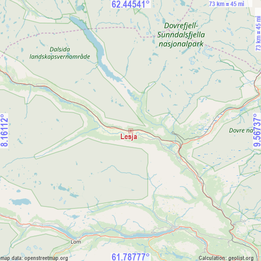
Lesja GPS coordinates[2]
62° 7' 6.132" North, 8° 51' 51.264" East
| Map corner | latitude | longitude |
|---|---|---|
| Upper-left | 62.44541°, | 8.16112° |
| Center: | 62.11837°, | 8.86424° |
| Lower-right: | 61.78777°, | 9.56737° |
| Map W x H: | 73.1×73.1 km | = 45.4×45.4mi |
| max Lat: | 71.04137° ⇑35.1% North |
| Lesja: | 62.11837° |
| min Lat: | ⇓64.9% South 58.0274° |
| min Long | Lesja | max Long |
| 4.71485° | 8.86424° | 31.11066° |
| W 39.1%⇐ | ⇒60.9% E |
Elevation
Elevation of Lesja is 660 m = 2165 ft, and this is 555.8 m = 1823 ft above average elevation for this country.
| Max E: |
897 m = 2943 ft | 1.1% |
| Lesja | 660 m 2165 ft | |
| Avg. | 104.2 m = 342 ft | |
Min E: |
1 m = 3 ft | 98.9% |
See also: Norway elevation on elevation.city.
Geographical zone
Lesja is located in North temperate zone (between Tropic of Cancer and the Arctic Circle). Distance of this North polar circle is 494.3 km =307.1 mi to North.| Distance of | km | miles | from Lesja |
|---|---|---|---|
| North Pole | 3100.1 | 1926.3 | to North |
| Arctic Circle | 494.3 | 307.1 | to North |
| Tropic Cancer | 4301 | 2672.5 | to South |
| Equator | 6906.9 | 4291.7 | to South |


Nearby cities:
15 places around Lesja: (largest is in red/bold)
• Bismo
40.6 km =25.2 mi,  230°
230°
• Bismoen
40.7 km =25.3 mi, 230°
• Dale
50.4 km =31.3 mi,  139°
139°
• Dombås
14.5 km =9 mi,  109°
109°
• Dovre
25.1 km =15.6 mi,  125°
125°
• Folldal
58.9 km =36.6 mi,  88°
88°
• Fossbergom
34.8 km =21.6 mi,  206°
206°
• Grøa
58.9 km =36.6 mi,  352°
352°
• Kvam
66.3 km =41.2 mi, 139°
• Oppdal
68 km =42.3 mi,  38°
38°
• Otta
52.2 km =32.4 mi, 137°
• Sunndalsøra
63.8 km =39.6 mi, 345°
• Vinstra
74.5 km =46.3 mi, 141°
• Vågåmo
29.7 km =18.5 mi,  155°
155°
• Åndalsnes
78.6 km =48.8 mi,  309°
309°
Sources, notices
• [Note1] Compared only with cities in Norway existing in our database
• [Src1] Map data: © OpenStreetMap contributors (CC-BY-SA)
• [Src2] Other city data from geonames.org with taken over terms of usage.
• [Src3] Geographical zone / Annual Mean Temperature by Robert A. Rohde @ Wikipedia
