Sitno geodata
Sitno (West Pomerania) is a populated place; located in Poland in Europe/Warsaw (GMT+2) time zone. With population of 893 people, there are 2692 cities with bigger population in this country. Compared to other cities in Poland, 91.1% of cities are located further ↓South; 88.4% of cities are located further →East and 59.9% of cities have higher elevation than Sitno. Note1
Administrative division(s):
- Level 1: West Pomerania
- Level 2: Powiat szczecinecki
- Level 3: Szczecinek


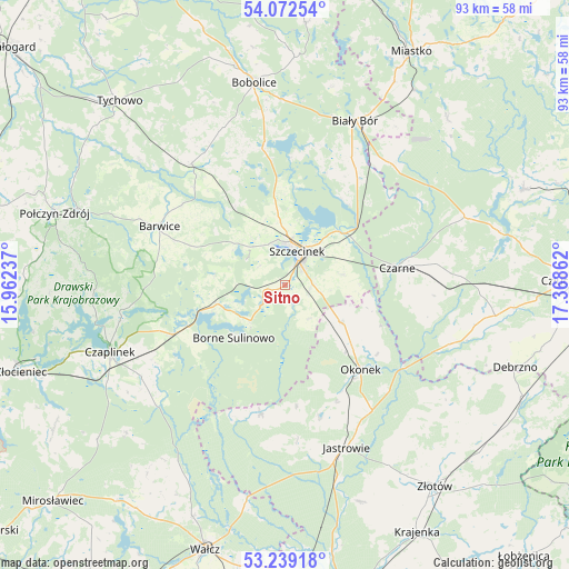
Sitno GPS coordinates[2]
53° 39' 28.512" North, 16° 39' 55.764" East
| Map corner | latitude | longitude |
|---|---|---|
| Upper-left | 54.07254°, | 15.96237° |
| Center: | 53.65792°, | 16.66549° |
| Lower-right: | 53.23918°, | 17.36862° |
| Map W x H: | 92.7×92.7 km | = 57.6×57.6mi |
| max Lat: | 54.83135° ⇑8.9% North |
| Sitno: | 53.65792° |
| min Lat: | ⇓91.1% South 49.21328° |
| min Long | Sitno | max Long |
| 14.20249° | 16.66549° | 24.03723° |
| W 11.6%⇐ | ⇒88.4% E |
Elevation
Elevation of Sitno is 147 m = 482 ft, and this is 44.4 m = 146 ft below average elevation for this country.
| Max E: |
974 m = 3196 ft | 59.9% |
| Avg. | 191.4 m = 628 ft | |
| Sitno | 147 m = 482 ft | |
Min E: |
-3 m = -10 ft | 40.1% |
See also: Poland elevation on elevation.city.
Geographical zone
Sitno is located in North temperate zone (between Tropic of Cancer and the Arctic Circle). Distance of this North polar circle is 1435 km =891.7 mi to North.| Distance of | km | miles | from Sitno |
|---|---|---|---|
| North Pole | 4040.9 | 2510.9 | to North |
| Arctic Circle | 1435 | 891.7 | to North |
| Tropic Cancer | 3360.3 | 2088 | to South |
| Equator | 5966.2 | 3707.2 | to South |


Nearby cities:
15 places around Sitno: (largest is in red/bold)
• Barwice
22.6 km =14 mi,  295°
295°
• Biały Bór
28.8 km =17.9 mi,  22°
22°
• Bobolice
33.4 km =20.8 mi,  351°
351°
• Borne Sulinowo
12.5 km =7.8 mi,  223°
223°
• Czaplinek
30.6 km =19 mi,  248°
248°
• Czarne
18.2 km =11.3 mi,  80°
80°
• Grzmiąca
25 km =15.5 mi,  322°
322°
• Jastrowie
28.2 km =17.5 mi,  159°
159°
• Lędyczek
23.8 km =14.8 mi,  124°
124°
• Okonek
18.3 km =11.4 mi,  137°
137°
• Rzeczenica
31.1 km =19.3 mi,  69°
69°
• Sypniewo
21.5 km =13.4 mi,  190°
190°
• Szczecinek
6 km =3.7 mi, 21°
• Łubowo
19.7 km =12.2 mi, 246°
• Żółtnica
9.6 km =6 mi, 79°
Sources, notices
• [Note1] Compared only with cities in Poland existing in our database
• [Src1] Map data: © OpenStreetMap contributors (CC-BY-SA)
• [Src2] Other city data from geonames.org with taken over terms of usage.
• [Src3] Geographical zone / Annual Mean Temperature by Robert A. Rohde @ Wikipedia
