Koleczkowo geodata
Koleczkowo (Pomerania) is a populated place; located in Poland in Europe/Warsaw (GMT+2) time zone. With population of 2,000 people, there are 1469 cities with bigger population in this country. Compared to other cities in Poland, 98.7% of cities are located further ↓South; 70.6% of cities are located further →East and 57.8% of cities have higher elevation than Koleczkowo. Note1


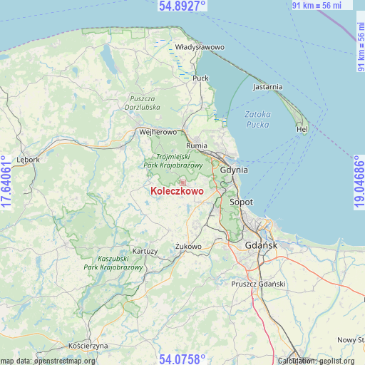
Koleczkowo GPS coordinates[2]
54° 29' 10.644" North, 18° 20' 37.428" East
| Map corner | latitude | longitude |
|---|---|---|
| Upper-left | 54.8927°, | 17.64061° |
| Center: | 54.48629°, | 18.34373° |
| Lower-right: | 54.0758°, | 19.04686° |
| Map W x H: | 90.8×90.8 km | = 56.4×56.4mi |
| max Lat: | 54.83135° ⇑1.3% North |
| Koleczkowo: | 54.48629° |
| min Lat: | ⇓98.7% South 49.21328° |
| min Long | Koleczkowo | max Long |
| 14.20249° | 18.34373° | 24.03723° |
| W 29.4%⇐ | ⇒70.6% E |
Elevation
Elevation of Koleczkowo is 151 m = 495 ft, and this is 40.4 m = 133 ft below average elevation for this country.
| Max E: |
974 m = 3196 ft | 57.8% |
| Avg. | 191.4 m = 628 ft | |
| Koleczkowo | 151 m = 495 ft | |
Min E: |
-3 m = -10 ft | 42.2% |
See also: Poland elevation on elevation.city.
Geographical zone
Koleczkowo is located in North temperate zone (between Tropic of Cancer and the Arctic Circle). Distance of this North polar circle is 1342.9 km =834.4 mi to North.| Distance of | km | miles | from Koleczkowo |
|---|---|---|---|
| North Pole | 3948.8 | 2453.7 | to North |
| Arctic Circle | 1342.9 | 834.4 | to North |
| Tropic Cancer | 3452.4 | 2145.2 | to South |
| Equator | 6058.3 | 3764.5 | to South |


Nearby cities:
15 places around Koleczkowo: (largest is in red/bold)
• Banino
11.2 km =7 mi,  158°
158°
• Bojano
3.1 km =1.9 mi,  122°
122°
• Chwaszczyno
6.8 km =4.2 mi,  134°
134°
• Dębogórze
13.8 km =8.6 mi,  32°
32°
• Gdynia
12.7 km =7.9 mi,  73°
73°
• Kosakowo
14.6 km =9.1 mi,  38°
38°
• Pogórze
12.5 km =7.8 mi,  45°
45°
• Przodkowo
12.4 km =7.7 mi,  197°
197°
• Pępowo
13 km =8.1 mi,  167°
167°
• Reda
13.2 km =8.2 mi,  0°
0°
• Rumia
9.8 km =6.1 mi,  16°
16°
• Sopot
14.8 km =9.2 mi,  109°
109°
• Szemud
7.8 km =4.8 mi,  270°
270°
• Wejherowo
15 km =9.3 mi,  332°
332°
• Wielki Kack
9.6 km =6 mi,  102°
102°
Sources, notices
• [Note1] Compared only with cities in Poland existing in our database
• [Src1] Map data: © OpenStreetMap contributors (CC-BY-SA)
• [Src2] Other city data from geonames.org with taken over terms of usage.
• [Src3] Geographical zone / Annual Mean Temperature by Robert A. Rohde @ Wikipedia
