Przysucha geodata
Przysucha (Mazovia) is a seat of a second-order administrative division; located in Poland in Europe/Warsaw (GMT+2) time zone. With population of 6,188 people, there are 589 cities with bigger population in this country. Compared to other cities in Poland, 54.2% of cities are located further ↓South; 66.7% of cities are located further ←West and 63% of cities have lower elevation than Przysucha. Note1


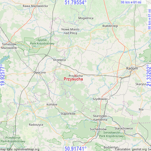
Przysucha GPS coordinates[2]
51° 21' 30.888" North, 20° 37' 44.004" East
| Map corner | latitude | longitude |
|---|---|---|
| Upper-left | 51.79554°, | 19.92577° |
| Center: | 51.35858°, | 20.62889° |
| Lower-right: | 50.91741°, | 21.33202° |
| Map W x H: | 97.6×97.6 km | = 60.6×60.6mi |
| max Lat: | 54.83135° ⇑45.8% North |
| Przysucha: | 51.35858° |
| min Lat: | ⇓54.2% South 49.21328° |
| min Long | Przysucha | max Long |
| 14.20249° | 20.62889° | 24.03723° |
| W 66.7%⇐ | ⇒33.3% E |
Elevation
Elevation of Przysucha is 209 m = 686 ft, and this is 17.6 m = 58 ft above average elevation for this country.
| Max E: |
974 m = 3196 ft | 37% |
| Przysucha | 209 m 686 ft | |
| Avg. | 191.4 m = 628 ft | |
Min E: |
-3 m = -10 ft | 63% |
See also: Poland elevation on elevation.city.
Geographical zone
Przysucha is located in North temperate zone (between Tropic of Cancer and the Arctic Circle). Distance of this North polar circle is 1690.6 km =1050.5 mi to North.| Distance of | km | miles | from Przysucha |
|---|---|---|---|
| North Pole | 4296.5 | 2669.7 | to North |
| Arctic Circle | 1690.6 | 1050.5 | to North |
| Tropic Cancer | 3104.6 | 1929.1 | to South |
| Equator | 5710.5 | 3548.3 | to South |


Nearby cities:
15 places around Przysucha: (largest is in red/bold)
• Borkowice
5.7 km =3.5 mi,  138°
138°
• Chlewiska
16 km =9.9 mi, 142°
• Drzewica
14.7 km =9.1 mi,  314°
314°
• Gielniów
11.3 km =7 mi,  294°
294°
• Gowarczów
16 km =9.9 mi,  236°
236°
• Klwów
19.6 km =12.2 mi,  1°
1°
• Mroczków Gościnny
16.7 km =10.4 mi,  278°
278°
• Odrzywół
18.6 km =11.6 mi,  344°
344°
• Pawłów
17.4 km =10.8 mi,  132°
132°
• Potworów
17.9 km =11.1 mi,  21°
21°
• Rogów
21.8 km =13.5 mi,  218°
218°
• Rusinów
9.2 km =5.7 mi, 341°
• Szydłowiec
21.7 km =13.5 mi, 131°
• Wielka Wieś
19.1 km =11.9 mi,  187°
187°
• Wieniawa
11.5 km =7.1 mi,  88°
88°
Sources, notices
• [Note1] Compared only with cities in Poland existing in our database
• [Src1] Map data: © OpenStreetMap contributors (CC-BY-SA)
• [Src2] Other city data from geonames.org with taken over terms of usage.
• [Src3] Geographical zone / Annual Mean Temperature by Robert A. Rohde @ Wikipedia
